⚠ PHILIPPINES 48HRS WEATHER FORECAST
| LUZON WEATHER | |||
|---|---|---|---|
12HRS |
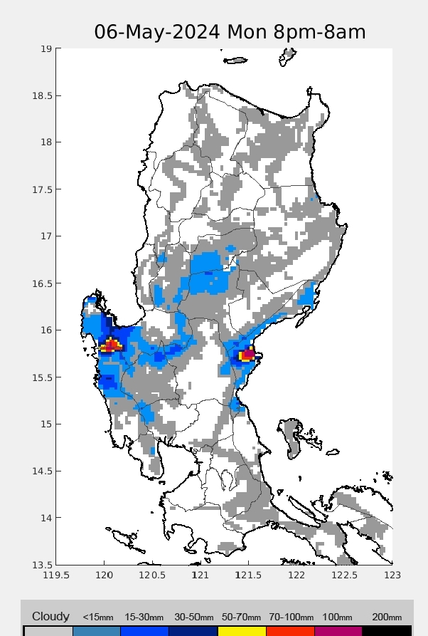
24HRS |
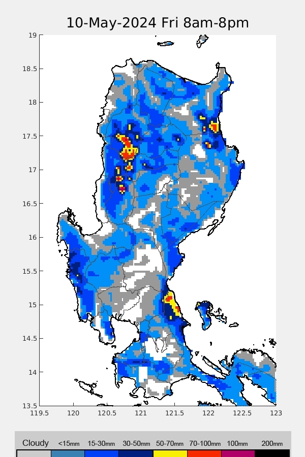
36HRS |
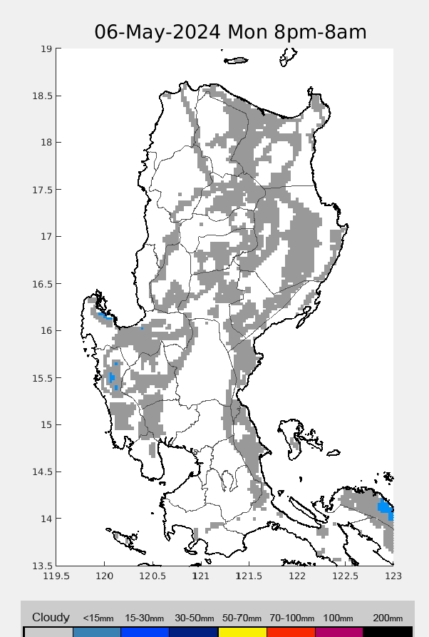
48HRS |
| VISAYAS WEATHER | |||
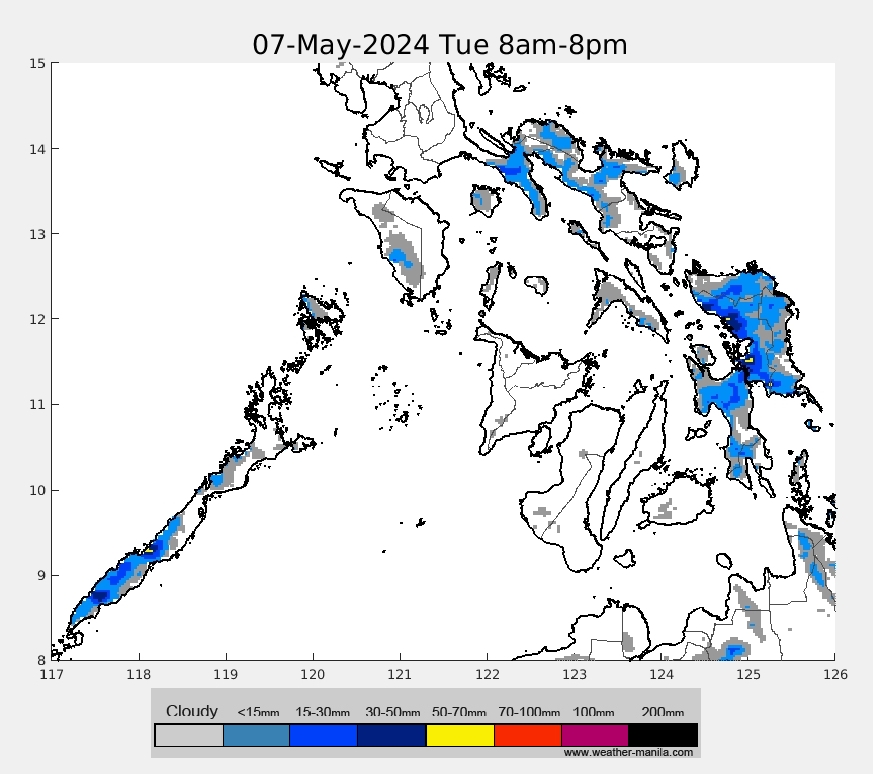
12HRS |
24HRS |
36HRS |
48HRS |
| MINDANAO WEATHER | |||
12HRS |
24HRS |
36HRS |
48HRS |
Para naman sa realtime imagery bisitahin ang link sa ibaba
(For realtime imagery visit the following link below:)
Philippines Doppler radar: https://weathergaines.blogspot.com/2012/08/philippines-doppler-radar-noah.html
------------------------------------------------------------------------------

|
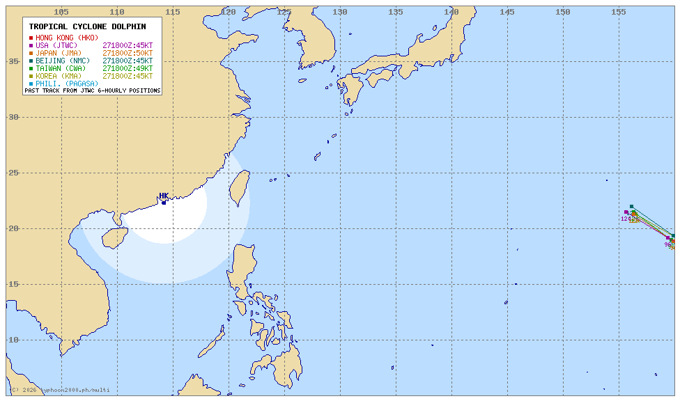
| DOLPHIN
|
|
 TROPICAL CYCLONE WARNING SIGNAL |
|
 |
 |
 |
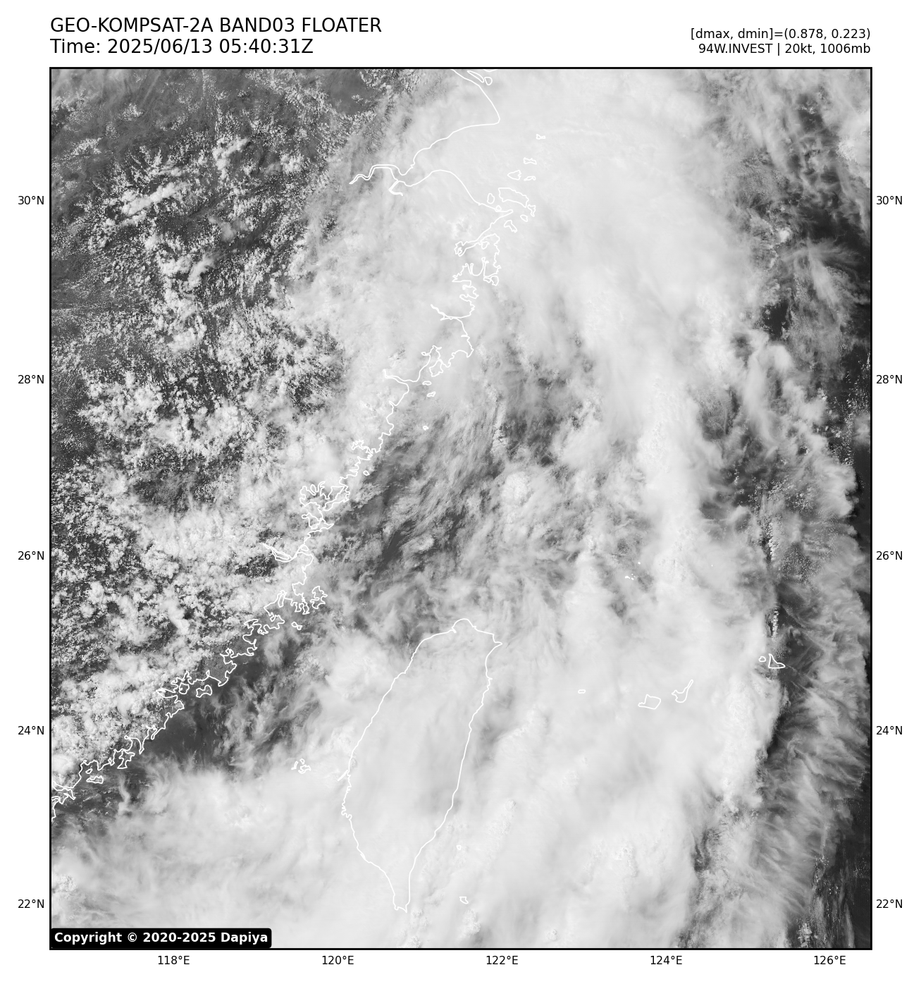
| 94W INVEST
|
|
 TROPICAL CYCLONE WARNING SIGNAL |
|
 |
 |
 |