Hi there!!! i created my own blog to give my own information and observation regarding on latest weather updates based on different weather agencies and actual satellite observation which i gather and thoroughly study and analyse.
As i born and grown to a country most surrounded by waters and worlds mostly visited tropical cyclones, i continue studying our climate and some changes happening right now mostly this coming years as we are now visited by category 2-4 tropical cyclone yearly including F1-F2 tornado which is very rare to happen.
I hope my blog will somehow help not only my city but my whole country as well.
I will try my best to give you accurate forecast possible in future.
Thanks and God bless us all
skip to main |
skip to sidebar


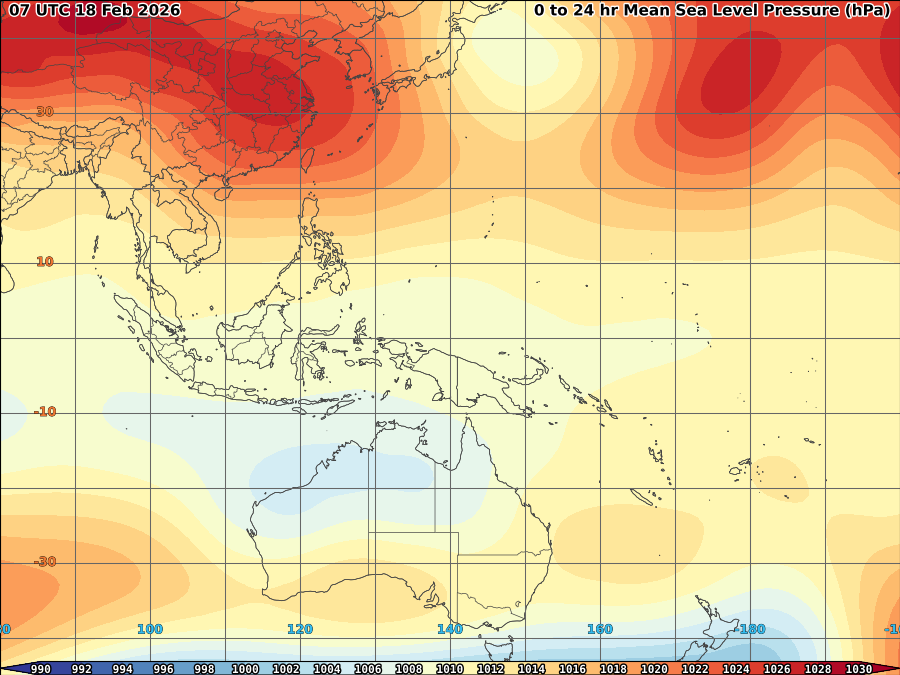
ALL INFORMATIONS AND/OR DATA PUBLISHED ON THIS BLOG ARE SUPPORTED BY ALL WEATHER AGENCIES (SEE BELOW OF THIS BLOG). THIS WAS DONE FOR RECORDS AND USAGE FOR REAL TIME OBSERVATIONS RELEVANT TO TROPICAL CYCLONE INFORMATIONS AND WEATHER UPDATES. KINDLY REFER TO YOUR RESPECTIVE WEATHER AGENCIES FOR UP TO DATE INFORMATIONS. PLEASE REFRESH THIS BLOG TO HAVE AN UP TO DATE SATELLITE IMAGERY.
ACTIVE LOW OR TROPICAL CYCLONES
| CLICK IMAGERIES TO REDIRECT ON COMPLETE IMAGERIES AND INFORMATIONS (Imageries will be seen after Philippines imagery below) | ||||
|
04W |
||||
LANGUAGE TRANSLATION
Subscribe to:
Post Comments (Atom)
About Me
- TYPHOON AND WEATHER IMAGERY
- City of Las Pinas, National Capital Region, Philippines
- This blogsite is all about different realtime satellite imageries, tropical cyclone information and other weather related topic
FOLLOW THIS SITE
YOU ARE VISITOR NUMBER:
LIVE FEED
Powered by Blogger.


No comments:
Post a Comment