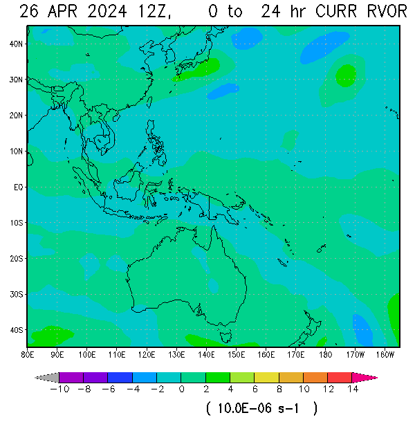
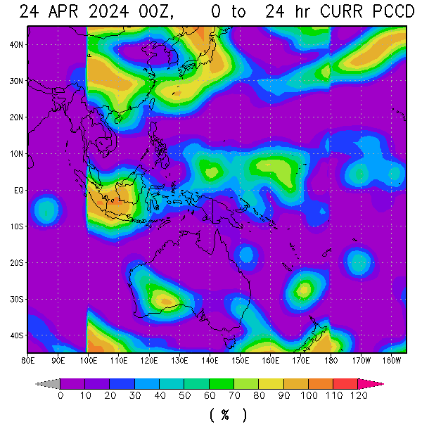
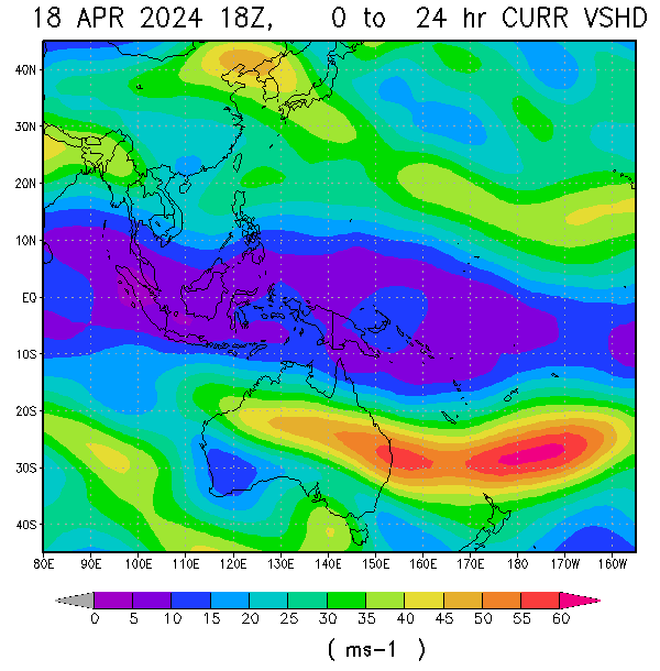
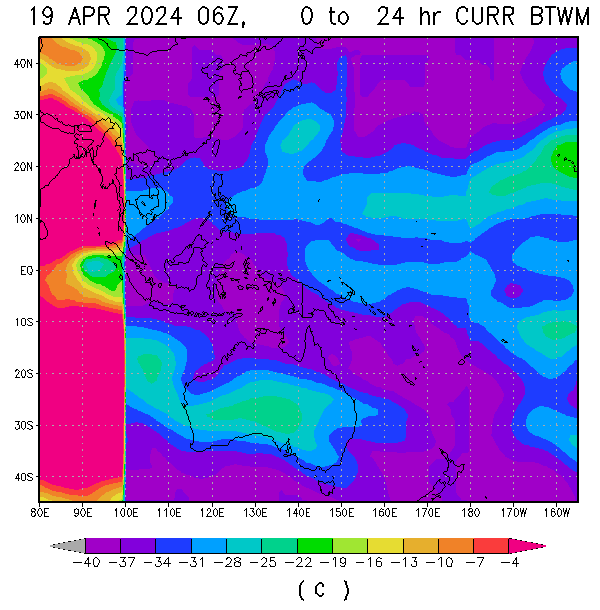
 97W (BISING IN LOCAL PAGASA NAME), continues to intensify as it convection slowly consolidating over LLCC but not that deep as of the moment due to moderate shear over SW quandrant of the LLCC. As of 10p, it was spotted based on latest vorticity image at 8N, 130E or approximately at 495km east of Surigao, with SLP of 1008 and max windspeed of 15-20kts (28-37kph), that maintain its status as Severe Alert.
Based on latest vortices shows some increase over the area for the past 12hrs and now reaches high status. Upper divergence improved to 20kts which is fair to good with pole ward outflow maintain at fair level. Westerly winds continues to spread most over near equator toward to its circulation indicating the system's circulation improving. It is currently under the steering influence of High over North that steered 97W more to the West.


SST over the area remain very warm at 29-30C with OHC at 90-120kj/cm3. Tropical Disturbance Severe Alert 97W/Bising, expected to slowly intensify as shear expected to relax over the area. It might possibly reaches a minimal depression within 24hrs if all environmental factor remain the same over the area.


No comments:
Post a Comment