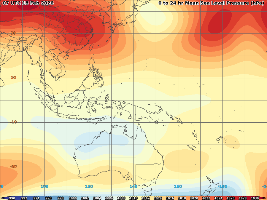


It is most likely that hotter and drier condition will persist in the next 2-3 months (March-May) as atmospheric and oceanic conditions not favors to any convective type of formation near the Philippines.
- 150m depth average temperature anomalies, Sea height anomalies and depth 26C shows very cold thermocline were observed near the Philippines both in South China sea and Philippine sea (see figures above).
- Positive OLR anomalies also shows drier conditions remains present over near the Philippines.
- Compared to last year, Series of High pressure area dominates most of the country.
- Way below normal rainfall is expected over Mindanao and Eastern Visayas this March to April with rain rate of 3-4mm/hr.
- Dry East to Southeast trade winds is expected with possible late arrival of Southwesterly wind flow.
- Though possible tropical cyclone formations at 155-170E due to very warm SST and thermocline and abundant moisture availability both atmospheric and oceanic, however at 110-145E, there's a slim chances this will happened due to both unfavorable atmospheric and Oceanic conditions over the said longitude.
- Overall, hot and dry climate is expected over middle of 2nd quarter of 2010 (April-middle of may) with below average rainfall over the remaining of 2nd Quarter (Mid of may-June).
THIS FORECAST IS SUBJECT TO CHANGES.
JUST VOTE OR COMMENT FOR FEEDBACK


No comments:
Post a Comment