Sea surface temperatures in the tropical Pacific have continued to cool over the past fortnight, though remain above El Niño thresholds. Temperatures in all the main ENSO monitoring areas are now less than 1°C above normal, a situation which last occurred in late September 2009. Below the ocean surface, temperatures have also reduced. Cooler than normal conditions are now apparent below much of the equatorial Pacific, with a number of indicators at their lowest levels since March 2009.
In the atmosphere, the trade winds are near normal, while cloudiness near the date-line has reduced over the past month. The 30-day SOI value went positive in early April for the first time since September of last year, while its current value of +6.2 is the highest 30-day SOI since late June 2009.
The decline in the current El Niño event is consistent with climate model predictions which suggest Pacific Ocean temperatures will cool steadily over the coming months, returning to neutral levels by early winter 2010. As autumn is a typical transitional period for ENSO, model predictions of El Niño through and beyond autumn are generally less reliable than at other times of the year.
SOURCE: AUSTRALIAN BUREAU OF METEOROLOGY
JUST VOTE OR COMMENT FOR FEEDBACK
ALL INFORMATIONS AND/OR DATA PUBLISHED ON THIS BLOG ARE SUPPORTED BY ALL WEATHER AGENCIES (SEE BELOW OF THIS BLOG). THIS WAS DONE FOR RECORDS AND USAGE FOR REAL TIME OBSERVATIONS RELEVANT TO TROPICAL CYCLONE INFORMATIONS AND WEATHER UPDATES. KINDLY REFER TO YOUR RESPECTIVE WEATHER AGENCIES FOR UP TO DATE INFORMATIONS. PLEASE REFRESH THIS BLOG TO HAVE AN UP TO DATE SATELLITE IMAGERY.
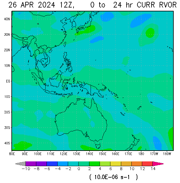 VORTICITY VORTICITY |
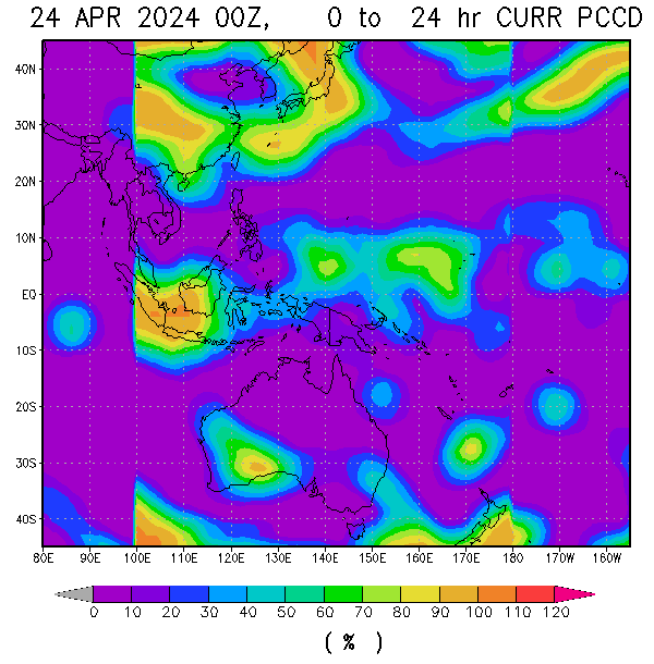 Percent Pixels Colder than -40°C Percent Pixels Colder than -40°C |
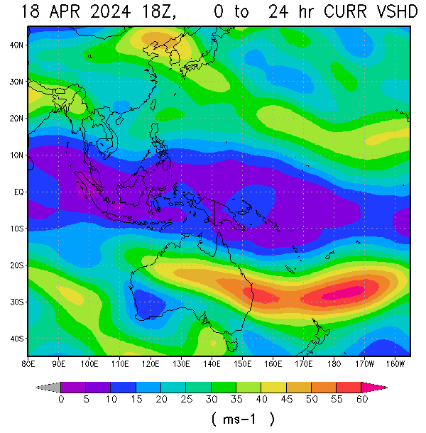 850-200 hPa Vertical Shear (kt) 850-200 hPa Vertical Shear (kt) |
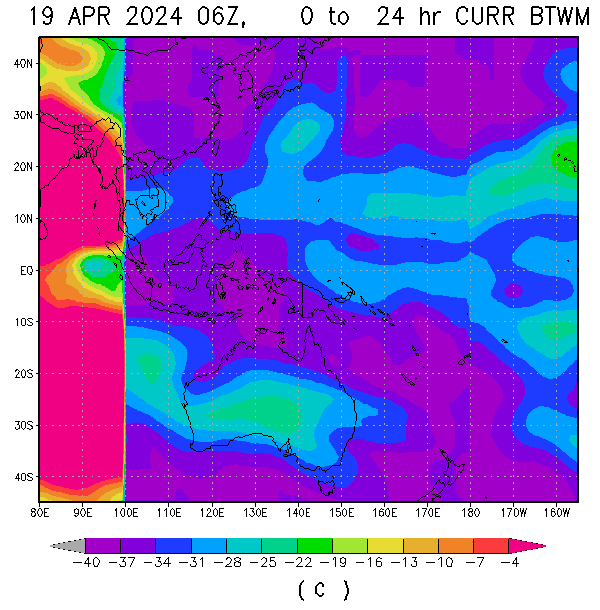 Cloud-cleared Water Vapor Brightness Temperature (°C) Cloud-cleared Water Vapor Brightness Temperature (°C) |  MSLP (hPa) MSLP (hPa) |


HIMAWARI WESTERN PACIFIC IR TEMPERATURE IMAGERY


About Me
- TYPHOON AND WEATHER IMAGERY
- City of Las Pinas, National Capital Region, Philippines
- This blogsite is all about different realtime satellite imageries, tropical cyclone information and other weather related topic

No comments:
Post a Comment