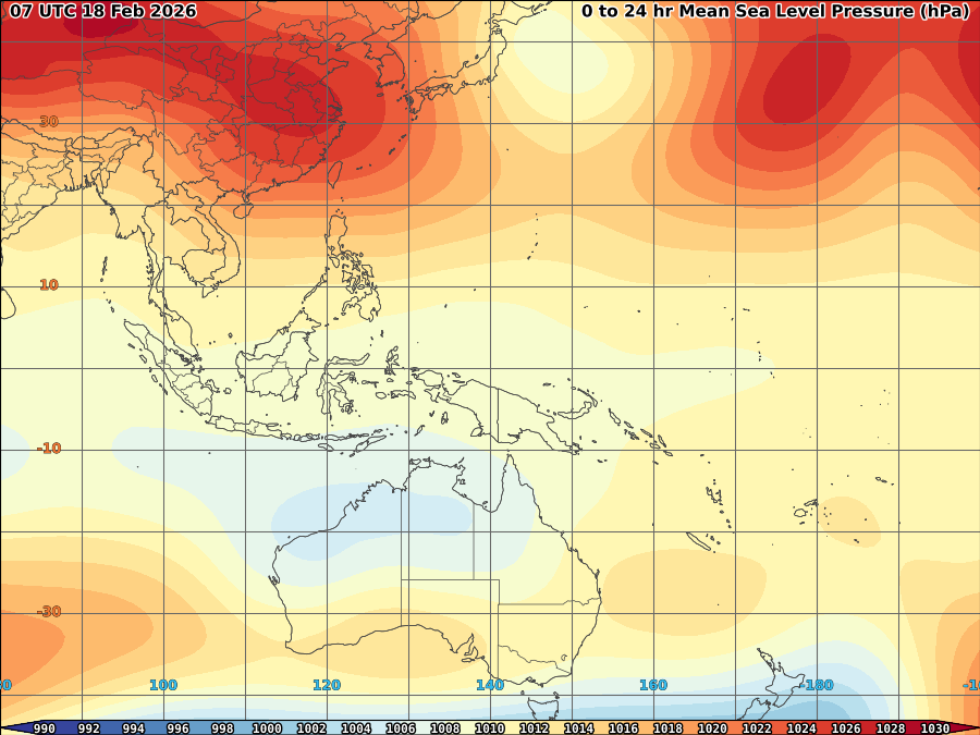
Las-Pinas City particularly parts of Zapote (including our place) in Manila, Philippines experience hailstorms at the height of severe thunderstorms at around 2:30P (0630UTC). My wife and residences here in our area said they saw this very dark cumulonimbo clouds accompanied by strong strikes of lightning and hard louding thunder with strong gust of winds (which i believe an updraft) of up to 60kph or more before the said hail fall. Thanks God no tornado spotted because usually hailstorms followed by a tornado due to strong updraft along the area.
Hail usually forms in cumulonimbus clouds when supercooled water droplets freeze on contact with condensation nuclei. The storm's updraft, with upwardly directed wind speeds as high as 110 miles per hour (180 km/h), blow the hailstones back up the cloud. The updraft dissipates and the hailstones fall down, back into the updraft, and are lifted up again. These type of strong updrafts can also indicate the presence of a tornado. Any thunderstorm which produces hail that reaches the ground is known as a hailstorm. Hail has a diameter of 5 millimetres (0.20 in) or more.
Hail forms in strong thunderstorm clouds, particularly those with intense updrafts, high liquid water content, great vertical extent, large water droplets, and where a good portion of the cloud layer is below freezing 0 °C (32 °F).[1] The growth rate is maximized where air is near a temperature of −13 °C (9 °F). Hail growth becomes vanishingly small when air temperatures fall below −30 °C (−22 °F) as supercooled water droplets become rare at these temperatures.[9] Around thunderstorms, hail is most likely within the cloud at elevations above 20,000 feet (6,100 m). Between 10,000 feet (3,000 m) and 20,000 feet (6,100 m), 60 percent of hail is still within the thunderstorm, though 40 percent now lies within the clear air under the anvil. Below 10,000 feet (3,000 m), hail is equally distributed in and around a thunderstorm to a distance of 2 nautical miles (3.7 km)
JUST VOTE OR COMMENT FOR FEEDBACK
skip to main |
skip to sidebar


ALL INFORMATIONS AND/OR DATA PUBLISHED ON THIS BLOG ARE SUPPORTED BY ALL WEATHER AGENCIES (SEE BELOW OF THIS BLOG). THIS WAS DONE FOR RECORDS AND USAGE FOR REAL TIME OBSERVATIONS RELEVANT TO TROPICAL CYCLONE INFORMATIONS AND WEATHER UPDATES. KINDLY REFER TO YOUR RESPECTIVE WEATHER AGENCIES FOR UP TO DATE INFORMATIONS. PLEASE REFRESH THIS BLOG TO HAVE AN UP TO DATE SATELLITE IMAGERY.
ACTIVE LOW OR TROPICAL CYCLONES
| CLICK IMAGERIES TO REDIRECT ON COMPLETE IMAGERIES AND INFORMATIONS (Imageries will be seen after Philippines imagery below) | ||||
|
Ragasa/#NandoPH |
||||
LANGUAGE TRANSLATION
About Me
- TYPHOON AND WEATHER IMAGERY
- City of Las Pinas, National Capital Region, Philippines
- This blogsite is all about different realtime satellite imageries, tropical cyclone information and other weather related topic
FOLLOW THIS SITE
YOU ARE VISITOR NUMBER:
LIVE FEED
Powered by Blogger.


3 comments:
Haha! Im the first to COMMENT! :)
I like your site. ive never seen a water vapor world map flattened out with such high quality. its nice because you can truly get a feel for storms before they turn into storm reports
I am glad that I see your blog and I am amazed. This was very nice that you had already a typhoon and weather imagery. That’s why whenever all this where experiencing in the Philippines we must get ready and we must be aware of it for our own safety.
Greg | Philippines Weather
Post a Comment