 |
| July 14, 2017 Ocean Heat Content |
Western Pacific remains calm and quiet as of this moment (due to lack of pre-existing disturbances such as inactivity of Intertropical Convergence zone which provide vortices and convections), Rainfall pattern across the country enhance by monsoon weather and tropical cyclones were bit below than normal this year since innsufficient monsoon wind (that drives tropical monsoon moisture for convective formations towards the country) and lack of tropical cyclone formations as of the moment across Western Pacific continues. But despite of this, there is one noticeable part of the ocean that caught my attention and this is the OCEAN HEAT CONTENT.
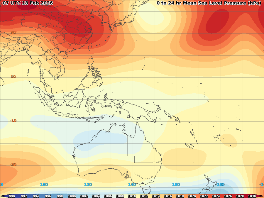
Oceanic heat content (OHC) is the heat stored in the ocean. Changes in the ocean heat content play an important role in the sea level rise, because of thermal expansion. The intensification of tropical cyclones involves a combination of different atmospheric conditions such as atmospheric trough interactions and vertical wind shear, which lead to conducive outflow conditions aloft. Increased outflow enhances inflow conditions at the surface. As this process continues throughout the storm, the upper ocean provides heat energy to the overlying atmospheric boundary layer and for the deepening process[1]. Tropical cyclones may feed and grow stronger on ocean with high value of heat. Sudden TC intensification has been linked with high values of upper ocean heat content contained in mesoscale features, particularly warm ocean eddies. Therefore, resolving, understanding, and monitoring the upper ocean mesoscale field and its vertical thermal structure in the upper hundred or so meters may be critical to monitoring the upper ocean heat content for TC intensification[2]. In image below, you may see the large body of Ocean heat content from Philippines to Western Pacific. It shows higher value of heat that can supply and aid fully any tropical cyclone to develop along the area as other than latent heat (a main source energy of a tropical cyclone during condensation), tropical moisture inflow from the ocean will futher boost convective formation along inner band of any tropical cyclone. In this case, if a tropical cyclone that may develop with full environmental factor the same as of Super Typhoon haiyan and Meranti, We may say, that chances of reaching a Category 4-5 is possible as rapid intensification (RI) always happens during the time tropical cyclone are over high OHC. As Shay suggests that the upper ocean heat content was important in the rapid intensification of Haiyan similar to what is observed in the Atlantic Ocean basin[3]. In this case, there's a strong indication that numerous strong tropical cyclone may develop across Western Pacific basin once tropical cyclone started developing.
(see my article: http://weathergaines.blogspot.com/2013/11/Super-Typhoon-Haiyan-Yolanda-Report.html
[1]http://www.aoml.noaa.gov/phod/cyclone/data/
[2]http://citeseerx.ist.psu.edu/viewdoc/download?doi=10.1.1.503.1623&rep=rep1&type=pdf
[3]http://www.rsmas.miami.edu/blog/2014/04/07/what-caused-the-rapid-intensification-of-super-typhoon-haiyan/)


No comments:
Post a Comment