ALL INFORMATIONS AND/OR DATA PUBLISHED ON THIS BLOG ARE SUPPORTED BY ALL WEATHER AGENCIES (SEE BELOW OF THIS BLOG). THIS WAS DONE FOR RECORDS AND USAGE FOR REAL TIME OBSERVATIONS RELEVANT TO TROPICAL CYCLONE INFORMATIONS AND WEATHER UPDATES. KINDLY REFER TO YOUR RESPECTIVE WEATHER AGENCIES FOR UP TO DATE INFORMATIONS. PLEASE REFRESH THIS BLOG TO HAVE AN UP TO DATE SATELLITE IMAGERY.
Typhoon #Rolly (Goni) now a Category 5 Super typhoon, heading towards Luzon
⚠ BULLETIN
October 30, 2020 5PM
TROPICAL CYCLONE
CODE/INTERNATIONAL NAME: GONI
LOCAL NAME: #RollyPH
STAGE: Category 5 Super Typhoon
COORDINATES: 16.21°N, 131.30°E
LOCATION: 970km East of Casiguran, Aurora
DIFFERENT AGENCIES INTENSITY
US [06UTC(1min aver.)]: 278km/hr; GUST: 343km/hr
JAPAN-JMA[06UTC (10min aver.)]: 185km/hr; GUST: 259km/hr
PAGASA[06UTC (10min aver.)]: 185km/hr; GUST: 230km/hr
HONGKONG-HKO(06UTC): 241km/hr
CHINA-NMC(06UTC): 224km/hr
TAIWAN-CWB(06UTC): 183km/hr; GUST: 226km/hr
SOUTH KOREA-KMA(06UTC): 176km/hr
AVERAGE WINDSPEED: 235.5km/hr
MIN. SEA LEVEL PRESSURE: 911mb
TRACK: West-Southwest at 20km/hr
SURFACE WIND ANALYSIS: 227.8km/hr (940.4mb)
RAINRATE: ≥75mm/hr
AUTOMATED DVORAK: 264.8km/hr (920.1mb)
CLOUD TEMPERATURE: -76.3°C
EYE/CENTER TEMPERATURE: +20.7°C
SCENE TYPE: EYE
ESTIMATED RADIUS OF MAX. WIND BASED ON IR: 11km
SEA SURFACE TEMP.: 30°C (very warm)
OCEAN HEAT CONTENT: very high and influx
RELATIVE VORTICITY: Extreme (increased)
VERTICAL WINDSHEAR (average): 9.4kt/17.4km/hr (light, increased)
STEERING WIND: Deep-layer subtropical ridge (STR) over West-NorthWest
DISCUSSION:
TY Goni undergo 2nd phase of rapidly intensification (25kt/6hrs) and now a category 5 super typhoon (the strongest so far in Western Pacific this year) and start to move more equatorward (WSW to SW) in response to large deep-layer subtropical ridge over West-Northwest which now act as a primary steering influence. Animated multispectral satellite imagery shows a very impressive, compact system with a sharp 9 nm eye, which has continued to rapidly intensify over the past six hours with microwave image showing very intense convection surrounding the very compact core. Robust radial outflow with the poleward outflow being enhanced as it taps into an upper-level mid latitude trough passing by to the north with low and decreased vertical windshear (VWS), very warm sea surface temperature with very high and influx value of ocean heat content are very conducive continues intensification. For the next 24hrs, STY Goni is expected to move more on a equatorward trackas steering mechanism now shifts to the Subtropical ridge centered over Southern China which will assume as a primary steering influence for the said system chances it may intensify to its peak before a possible eyewall replacement cycle after 24hrs to 285km/hr or a bit higher.
LANDFALL OR NEAR THE EYE: none as of the moment
BASED ON 5PM PAGASA BULLETIN
TCWS#1: Catanduanes
For realtime imagery visit the following link below:
Philippines Doppler radar: https://weathergaines.blogspot.com/2012/08/philippines-doppler-radar-noah.html
GONI/#RollyPH realtime imagery link: https://weathergaines.blogspot.com/2020/10/Tropical-Cyclone-Goni.html
ASTANI realtime imagery link: https://weathergaines.blogspot.com/2020/10/Tropical-Cyclone-Astani.html
Kindly visit, subscribe and share this youtube channel to keep updated for latest weather bulletin, advisory and forecast. Just click the link below https://www.youtube.com/channel/UCfvT2t7-KClwjJZXrIV0AYg/
Subscribe to:
Post Comments (Atom)
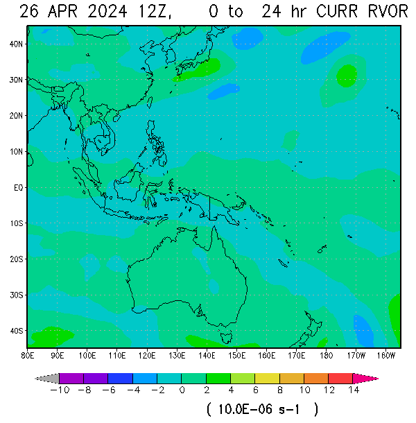 VORTICITY VORTICITY |
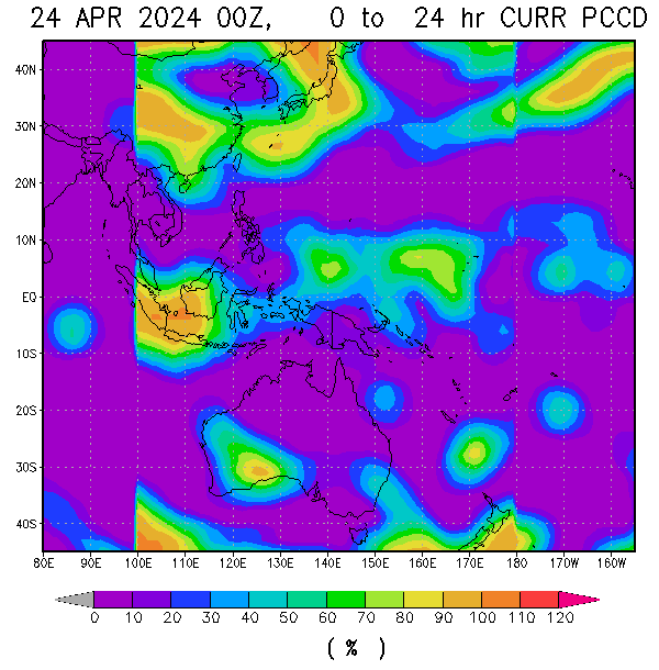 Percent Pixels Colder than -40°C Percent Pixels Colder than -40°C |
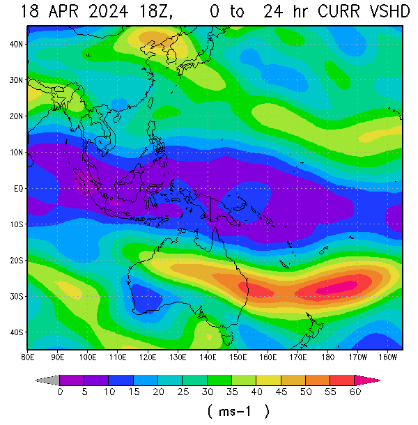 850-200 hPa Vertical Shear (kt) 850-200 hPa Vertical Shear (kt) |
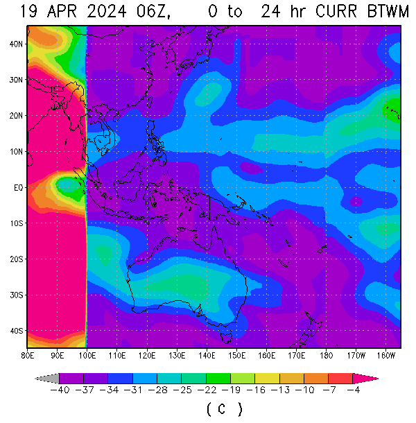 Cloud-cleared Water Vapor Brightness Temperature (°C) Cloud-cleared Water Vapor Brightness Temperature (°C) |  MSLP (hPa) MSLP (hPa) |


HIMAWARI WESTERN PACIFIC IR TEMPERATURE IMAGERY


About Me
- TYPHOON AND WEATHER IMAGERY
- City of Las Pinas, National Capital Region, Philippines
- This blogsite is all about different realtime satellite imageries, tropical cyclone information and other weather related topic

No comments:
Post a Comment