WELCOME TO TYPHOON AND WEATHER IMAGERY. THIS BLOG CONTAINS REAL TIME WEATHER, TROPICAL CYCLONE UPDATES AND IMAGERY, AND TROPICAL CYCLONE FORECAST. CONTENTS OF DROP DOWN MENU CAN BE FOUND AFTER PHILIPPINE IMAGERY BELOW (SCROLL DOWNWARD). THANK YOU VERY MUCH FOR VISITING THIS SITE. YOU ARE FREE TO MAKE ANY COMMENT(S) OR FEEDBACK(S) ABOUT THIS BLOG. OCTOBER 16, 2024 11PM - SYNOPSIS: INTERTROPICAL CONVERGENCE ZONE (ITCZ) AFFECTING SOUTHERN MINDANAO. EASTERLIES AFFECTING LUZON AND THE EASTERN SECTION OF VISAYAS

ACTIVE LOW OR TROPICAL CYCLONES

CLICK IMAGERIES TO REDIRECT ON COMPLETE IMAGERIES AND INFORMATIONS (Imageries will be seen after Philippines imagery below)

96W

LANGUAGE TRANSLATION

PHILIPPINES RADAR COURTESY OF RAINVIEWER THRU PAGASA DOPPLER RADAR


NCR DOPPLER RADAR

PHILIPPINES DOPPLER RADAR
RealEarth


UNSETTLED LONG RANGE FORECAST REMAINS OVER WESTERN PACIFIC


ECMWF (European Centre for Medium-Range Weather Forecasts)
NOV 19 2009

NOV 22-29 FORECAST


IMAGERY

It is still unsetteled this time as 12hrs forecast remain changeable due to multiple pre-disturbance existing over the area however, 92w invest now developing, another potential development of invest now sighted near east of Mindanao and sooner become an invest. Long range forecas vary depending on the steering mechanism available over northern hemisphere during those periods. Stay up-to-date over this forecast within the next 24-72hrs.
JUST VOTE OR COMMENT FOR FEEDBACK


No comments:

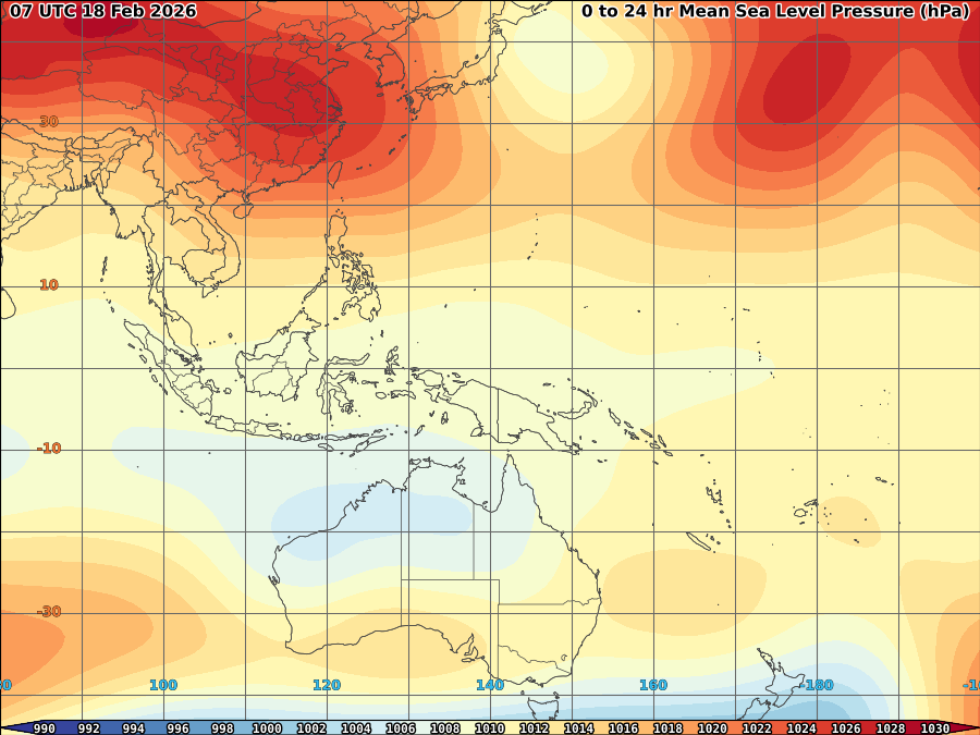
VORTICITY Percent Pixels Colder than -40°C 850-200 hPa Vertical Shear (kt) Cloud-cleared Water Vapor Brightness Temperature (°C)MSLP (hPa)

HIMAWARI WESTERN PACIFIC IR TEMPERATURE IMAGERY

MY TWEETER

News & Journalism - Top Blogs Philippines
Academics

GOOGLE SEARCH TOPIC

Top Stories - Google News

Blog Archive

REFRESH TO UPDATE