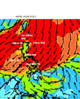
Tropical disturbance Severe alert intensified for the past 6hrs. As of 2p, it was centered at 9.7N, 128.5E with SLP of 1008mb and maximum wind speed of 20kts. It is moving very slowly in west direction
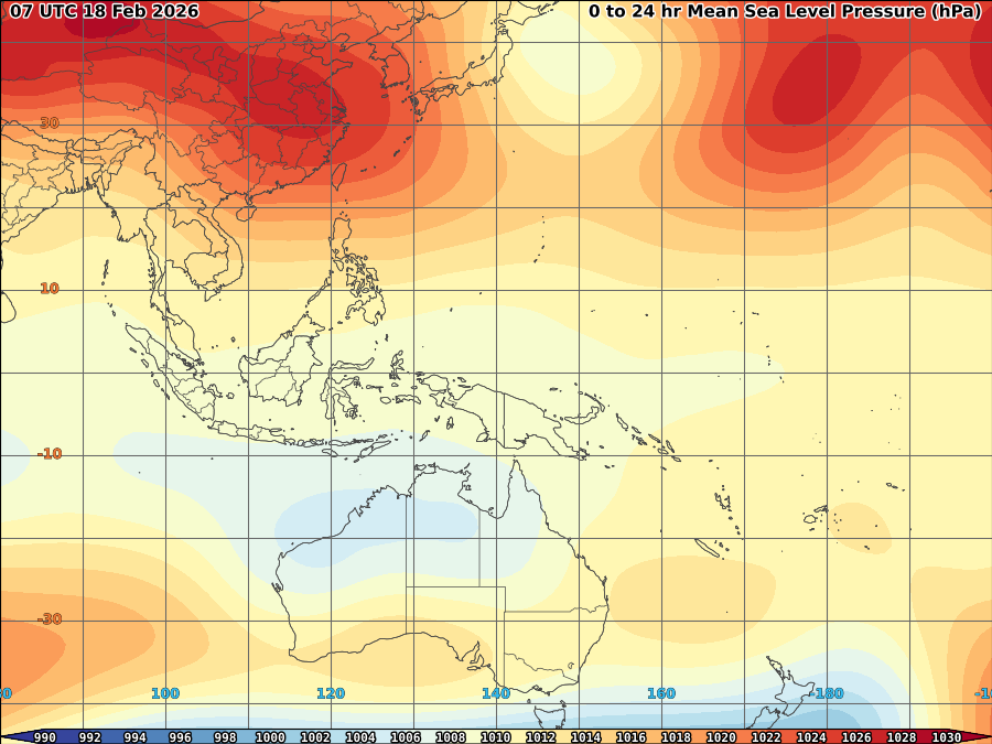
Latest satellite images shows 99w’s convection slowly consolidating with closed circulation based on latest wind analyses. Upper level divergence improved to 20kts with pole ward outflow slowly developing over the area which will allow 99w to have some intensification for the past 6hrs. The system currenly under the influence of strong NE wind over North and Ridge over China


Low wind shear over the area and warm SST with moderate OHC somehow will maintain its intensity for a meantime, However, cold surge from cold front over Northern Philippines somehow interfere to its strengthening. So the probability it may intensify into a depression still possible based on current environment over the area, however, becoming a storm is less likely for the meantime as cold front slowly entrapping to its circulation.

Possible rain still expected mostly over Eastern Visayas and Mindanao including Bicol region at 16mm/hr rainrate.

L2 (YELLOW) = Overcast with some drizzle
L3 (BLUE) = Drizzle with some Light Rain/shower
L4 (RED) = Light rain/shower with some Moderate Rain/shower
L5 (PINK) = Moderate Rain/shower with some Heavy rain/shower
L6 (GREEN) = Heavy with some Very Heavy shower
L7 (WHITE) = Very Heavy with some Blinding Rain


No comments:
Post a Comment