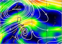
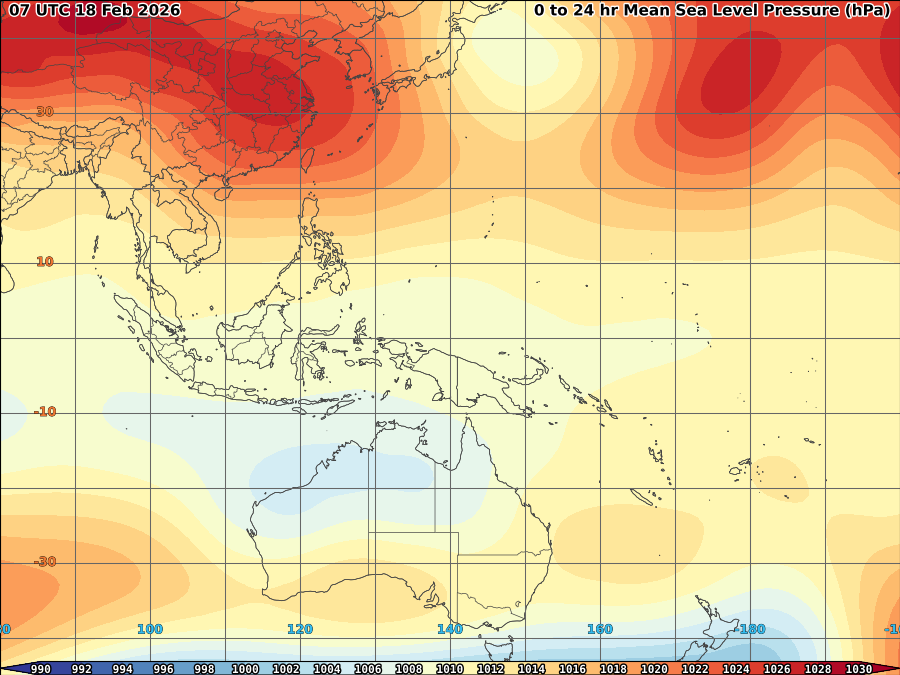
 Minimal depression Auring continues to erratically moving Northward for the past 12hrs in response over steering effect of High over China and fast moving frontal system North. As of 8p, it was centered at 12.8N, 128.5E or at 495km east of Sorsogon with SLP of 1007.8mb and max windspeed of 22kts. It is currently moving NNE slowly.
 Latest satellite imagery shows L7 convection persist over the area of LLC signifying deepening still existing over the area.
 VORTICES: Shows 2 area of High vortices, one over Eastern Visayas and the other over near LLCC.
UPPER DIVERGENCE: Still fair at 20kts.


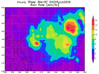
RAIN RATE: 16mm/hr over the area
Auring expected to almost remain stationary within 6hrs due to competing effect of building high over China and the movement of fast frontal system over the North if it may break by the said high. The next 24 hrs will be critical to auring direction as 2 possible scenario expected, one will be a fast NE march in response over the said frontal system and the other will be a slower NE march and eventually back to more West to Southwestward in response over possible effect of the said High over China which will break the frontal system. Either of the two are likely depending over the said 2 competing influence over minimal depression auring.
Auring expected to survive based on its level of convection and remain as minimal depression before weakening as tropical disturbance alert within the next 24-48hrs.
WIND ANALYSES: strong winds still blowing over Bicol region and Extreme northern Luzon

PHIL. RAINFALL:
 PHIL CONVECTION:
L0 (BLACK) = No clouds with some cloudy
L1 (GRAY) = Cloudy with some overcast
L2 (YELLOW) = Overcast with some drizzle
L3 (BLUE) = Drizzle with some Light Rain/shower
L4 (RED) = Light rain/shower with some Moderate Rain/shower
L5 (PINK) = Moderate Rain/shower with some Heavy rain/shower
L6 (GREEN) = Heavy with some Very Heavy shower
L7 (WHITE) = Very Heavy with some Blinding Rain


No comments:
Post a Comment