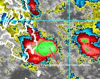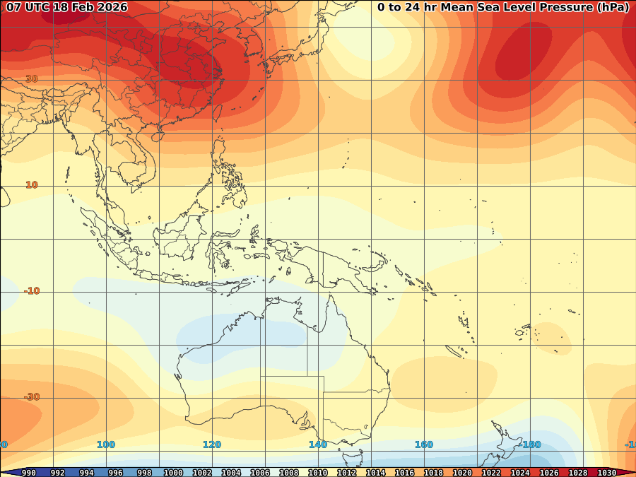
Newly tropical disturbance unnamed developed near Southeastern part of Mindanao that might brings more rain over the area. As of 6:30a, it was spotted at 8.0N, 130.0E or approximately 385km east of Davao Oriental with SLP of 1008mb and max windspeed of 15kts.
Latest vortices indicates a sustained High velocity and still increasing over the area Wind shear remains to be at moderate with 10kts upper divergence.
Very deep level 7 convection are over the area supported mainly by good TPW and warm SST and good OHC over the area. Moisture from Northeast monsoon fuels its convection to maintain at Level 7 for the past 6hrs indicating, warmer temperature over LLCC will sustained over the area within the next 6-12hrs. 11mm/hr rain rate are over the area and could possibly higher within the next few hours.


The system currently under the steering influence of Ridge of High pressure over Northeast and Northwest with cold front over its Northeast. It is currently moving WNW at 10kts/18.5kph.


For the next 12hrs will be critical on to whether this system will intensify into alert/severe tropical disturbance as fair upper divergence still over the area and pole ward outflow still less for the moment or it could remain as warning. Somehow, rain soaked area of Mindanao once more expected to have more heavy rains as this system approaches the area.


No comments:
Post a Comment