Flooding over Southern Philippines resulted to more deaths and injuries including homeless families after their towns were washed away by the ranging waters from denuded mountains. Actually, what causes this numerous flooding.
From my last post regarding with this event (CLICK URL: http://weathergaines.blogspot.com/2009/01/wetter-first-2-weeks-of-month_13.html) rain somewhat persisted and eventually heavier than expected resulted by multiple large deep convections associated by on-off active monsoon trough which spawned some development of tropical disturbances over the area. As seen on latest 1 week imagery seen above (CLICK URL: http://lake.nascom.nasa.gov/daac-bin/Giovanni/tovas/Giovanni_cgi.pl?west=117&north=21&east=128&south=5¶ms=0%7C3B41RT&plot_type=Area+Plot&byr=2009&bmo=01&bdy=13&bhr=00&eyr=2009&emo=01&edy=19&ehr=00&begin_date=2006%2F01%2F01%2F00&end_date=2009%2F01%2F20%2F09&cbar=cdyn&cmin=&cmax=&yaxis=ydyn&ymin=&ymax=&yint=&ascres=0.25x0.25&global_cfg=tovas.global.cfg.pl&instance_id=realtime&prod_id=3B41RT&action=Generate+Plot), shows rainfall totalled to up to 700mm/hr (100mm/day) mostly eastern part of mindanao. Level 5-7 convection persists over the area indicating moderate to blinding rains fall over the area.
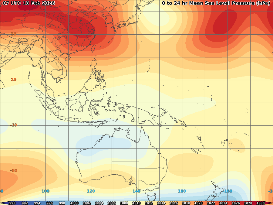
This convections that developed over the area intensified as cold surge air meets a warmer airmass that travels from 0-10N latitude. moderate to strong vortices including low vertical wind shear and warm SST somehow help this convections to sustained its intensity that alas send strong rain while colder weather over Luzon, Some disturbances that developed over the area evenly intensifies the Northeast monsoon and drives some moisture to penetrate over the area. Results, heavy rains accross Mindanao and Eastern Visayas.
As cold front and northeast monsoon vanishing, convections also reduced and as of the moment, clearing the area.
More improved weather condition expected over the area within this week but low shear somehow might influence some convections to deepens.


No comments:
Post a Comment