WELCOME TO TYPHOON AND WEATHER IMAGERY. THIS BLOG CONTAINS REAL TIME WEATHER, TROPICAL CYCLONE UPDATES AND IMAGERY, AND TROPICAL CYCLONE FORECAST. CONTENTS OF DROP DOWN MENU CAN BE FOUND AFTER PHILIPPINE IMAGERY BELOW (SCROLL DOWNWARD). THANK YOU VERY MUCH FOR VISITING THIS SITE. YOU ARE FREE TO MAKE ANY COMMENT(S) OR FEEDBACK(S) ABOUT THIS BLOG. As of 6PM APRIL 19, 2024 - SYNOPSIS: RIDGE OF A HIGH PRESSURE AREA (HPA) EXTENDING OVER THE EASTERN SECTION OF LUZON

ACTIVE LOW OR TROPICAL CYCLONES

CLICK IMAGERIES TO REDIRECT ON COMPLETE IMAGERIES AND INFORMATIONS (Imageries will be seen after Philippines imagery below)

NO ACTIVE SYSTEM

LANGUAGE TRANSLATION

PHILIPPINES RADAR COURTESY OF RAINVIEWER THRU PAGASA DOPPLER RADAR


NCR DOPPLER RADAR

PHILIPPINES DOPPLER RADAR
RealEarth


Relaxing weather expected within the weekend


People in the Phillipines expected enjoy the weather this coming weekend as a more relaxed weather condition expected within this coming weekend as no major weather disturbances nor other major weather system except over cold front over Luzon might bring massive amount of rainfall like what happens for the past 2 weeks over Mindanao as it was struck by series of flashfloods and landslide that resulted over death (CLICK IMAGE AT LEFT).

However, lower shears and fair upper divergence expected over Mindanao to Visayas that might cause some formation of scattered L3-4 convection over the weekends but this may be not likely to persist long enough as seen on latest vortices imagery which indicates some more stable air over the area.

No comments:

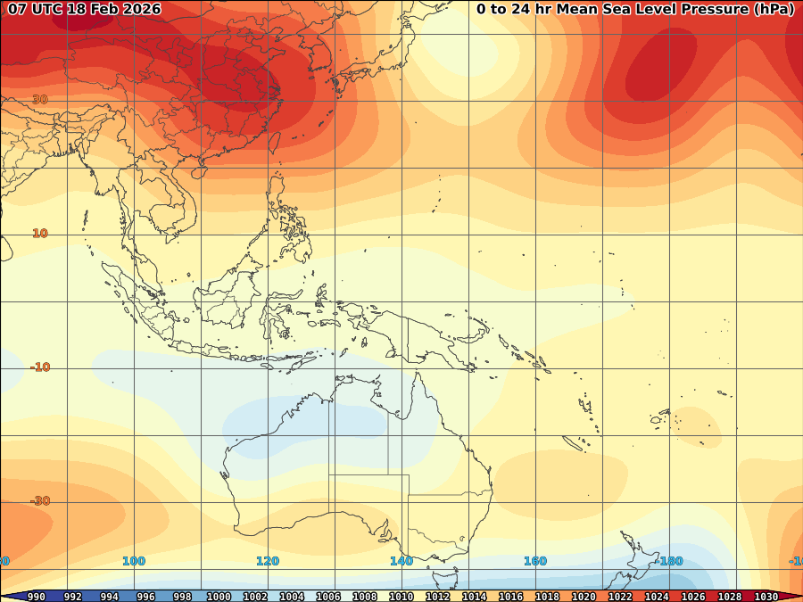
VORTICITY Percent Pixels Colder than -40°C 850-200 hPa Vertical Shear (kt) Cloud-cleared Water Vapor Brightness Temperature (°C)MSLP (hPa)

HIMAWARI WESTERN PACIFIC IR TEMPERATURE IMAGERY

MY TWEETER

News & Journalism - Top Blogs Philippines
Academics

GOOGLE SEARCH TOPIC

Top Stories - Google News

Blog Archive

REFRESH TO UPDATE