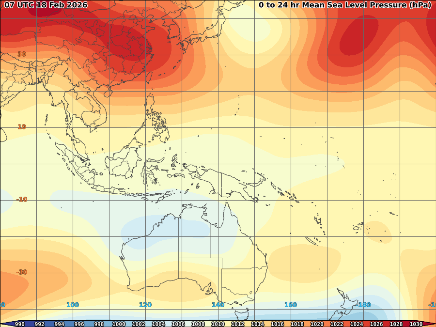
 Some warming of SST were observed most of January following some cooling trends last December. Current SST in the far-eastern Pacific are now back on neutral stage as warming has also been obseved in the Western half of the basin during January. Trade winds accross much of the eastern and central equatorial pacific and the SOI, which though weaker, remain firmly positive.
 Most model outlooks and the eastward propagation of warm sub-surface water from the western equatorial pacific, suggest that the cooler surface condition in the Pacific may not persist beyond summer 2009. Likely scenario is for the central and eastern pacific to warm further over the coming months and to remain neutral.


No comments:
Post a Comment