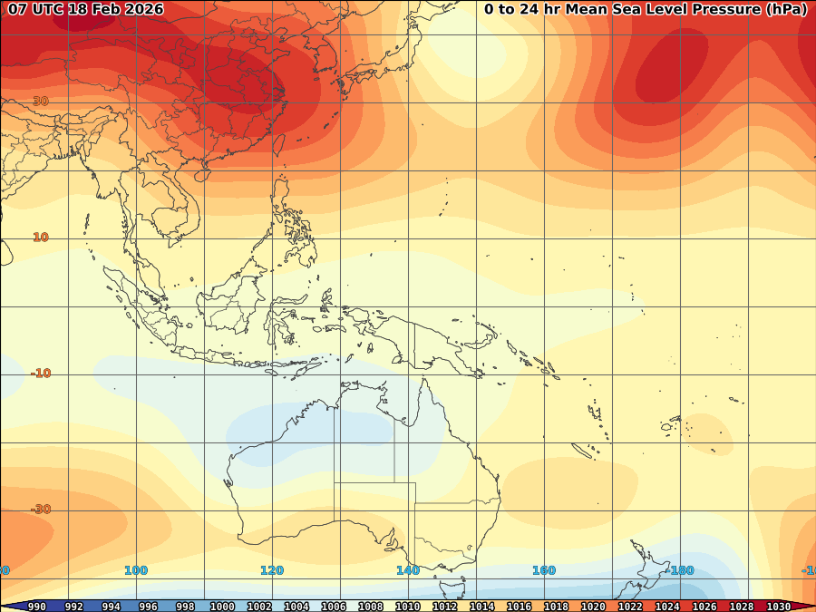
 Area of concern was spotted based on latest vortices image. As of 1a, it was spotted at 2-5N, 141-144E, though no closed circulation yet, upper divergence remain good over the area as warm SST and slowly deepening convection established over the area despite LLCC is difficult to find. SLP estimated at 1010mb.
The system is moving West and expected to bring light to very heavy rains over mindanao within the next day to 3 days.

Cold surge of NE windflow expected to entrap to its circulation. The probability it may become a strong disturbance is unlikely within the next 24 hrs.


No comments:
Post a Comment