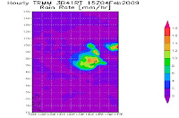
 Tropical disturbance 95W surviving for the past 24hrs as it shows some improvement of deepening convections as it reaches to L7 over its LLCC despite of low to moderate shear. As of 11a, it was spotted at 7.2N, 132.8E or approximately 693km east of Mindanao with SLP of 1010mb and winds of 15kts.
Upper level divergence still fair at 20kts. very warm SST, good equatorial outflow provide some maintaining strength and probably fuels some intensification of 95W within the next 12-24hrs.


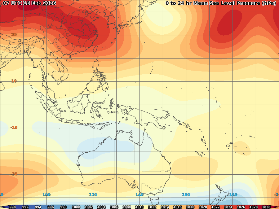
95W currently steered by weak ridge over northern hemisphere. Cold air over the area somehow affects its intensification however, its current environment based on its position allows 95W to survive for the next 24-48hrs and eventually weakens due to proximity over land over Mindanao.


heavy to blinding rain expected to approach Mindanao and Eastern Visayas within the next 24-48hrs.


No comments:
Post a Comment