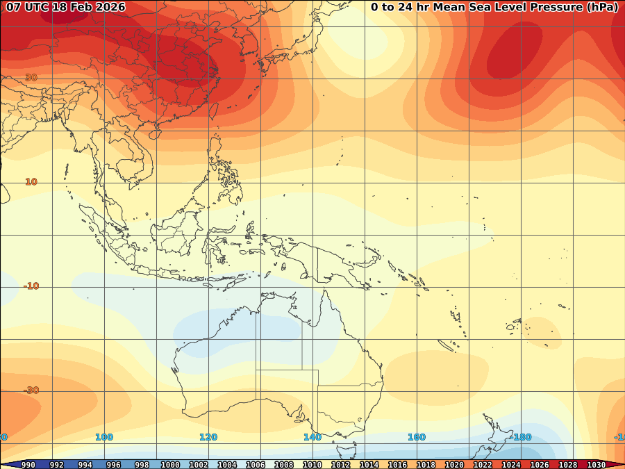
 95/96W intensified for the past 6hrs as it moves to the coast of eastern mindanao with blinding rain over the area. As of 2p, 95/96w was spotted based on latest satellite imagery at 7.7N, 127.6E or at the coast of Bislig, Surigao del Sur with SLP of 1008mb and windspeed of 15kts.
 Though upper divergence over the area weakens, convections of 95/96w remains high at L7 due to very warm SST, weakened shear at 5-10kts and fair equatorial outflow.
 95/96W expected to cross most area of Mindanao as it moves more Westward due to building High over China which act as steering influence for 95/96w.
 Due to proximity and now on land, 95/96W strength might weakens but very heavy to blinding rain ecpected to continue probably up to 6hrs which may cause flashflood and landslide over the area.


No comments:
Post a Comment