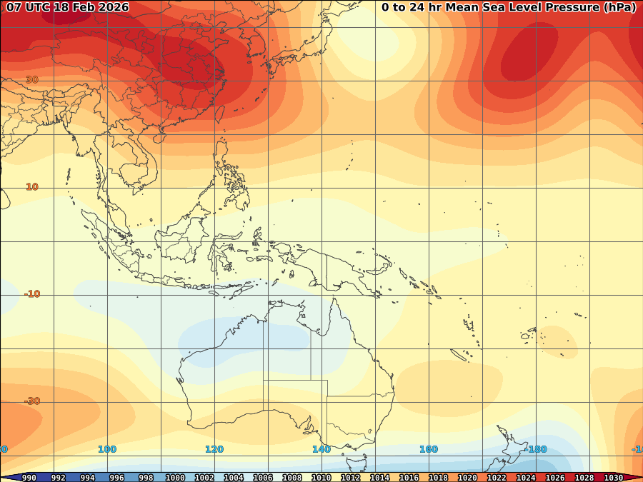
 95W/96W continues to show some intensification despite of proximity over land as multiple L6-7 convection spread further over Visayas. As of 11p, it was centered at 7.9N, 126.5E or east coast of Mindanao with SLP of 1008mb and windspeed of 15kts. It is currently moving west very slowly.
 Upper level divergence remain weak at 10kts but weakening shear at 5-10kts and 20kts low level convergence with warm SST and fair equatorial outflow maintain its steady strength and high level of convection.
 The system currently under the steering influence of developing High over China which act as main steering influence for 95/96w. Convection of 95/96W likely to remain at L7 as shears expected to remain low at 5-10kts.
 Southern Luzon Visayas and Northern Mindanao expected to felt the effect as light to blinding rain expected mostly over Visayas.
 Flashflood likely over the area.


No comments:
Post a Comment