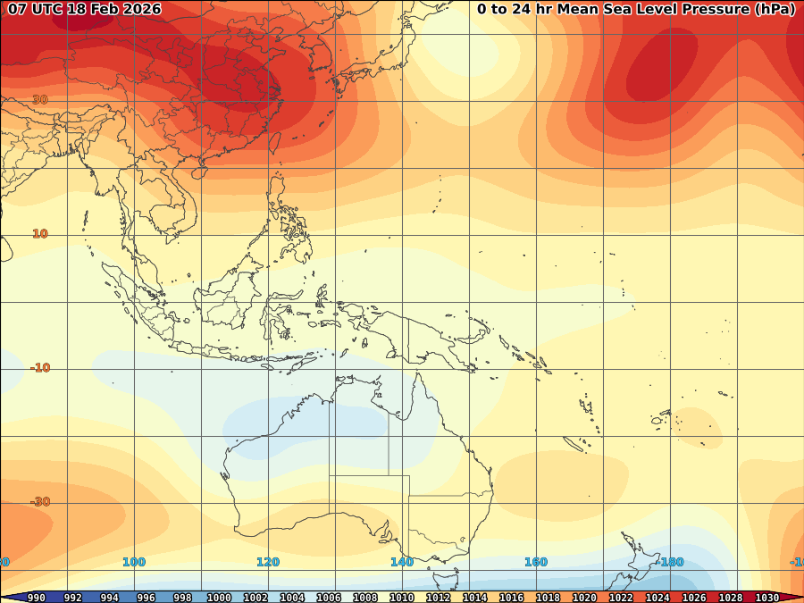
 97/98W continue to persist though most of its convection now displaced further away from its LLCC as it concentrated over most of Luzon. As of 2p, it was spotted based on latest wind and vorticity imagery at near west coast of Panay Is or at 11-11.5N, 121.5-122E with SLP of 1010mb and max wind of 15kts.

Convection displacement further to the northeast is due to frontal system already embedded over the area which compete with now fast moving high pressure ridge over North.


Upper divergence further weakens allowing pressure to rise most of the area. Wind shear continues to increase over the area disrupting further the development of convection which now limited to L2-4 only.

All factors now unfavorable for the system and therefore expected to weakens further and eventually to dissipate within 12-24hrs despite wind circulation remain visible.
18mm/hr rainrate expected over Southern Luzon particularly metro manila within next 3-6hrs.


No comments:
Post a Comment