
- Latest imagery shows frontal system now over Luzon as the remnant of 90w merge with the said system.
- Monsoon trough still weak
- Overall, possible moderate thunderstorm activity over much areas of luzon.

ALL INFORMATIONS AND/OR DATA PUBLISHED ON THIS BLOG ARE SUPPORTED BY ALL WEATHER AGENCIES (SEE BELOW OF THIS BLOG). THIS WAS DONE FOR RECORDS AND USAGE FOR REAL TIME OBSERVATIONS RELEVANT TO TROPICAL CYCLONE INFORMATIONS AND WEATHER UPDATES. KINDLY REFER TO YOUR RESPECTIVE WEATHER AGENCIES FOR UP TO DATE INFORMATIONS. PLEASE REFRESH THIS BLOG TO HAVE AN UP TO DATE SATELLITE IMAGERY.

 VORTICITY VORTICITY |
 Percent Pixels Colder than -40°C Percent Pixels Colder than -40°C |
 850-200 hPa Vertical Shear (kt) 850-200 hPa Vertical Shear (kt) |
 850 hPa Horizontal Division (×10-6 s-1) 850 hPa Horizontal Division (×10-6 s-1) | 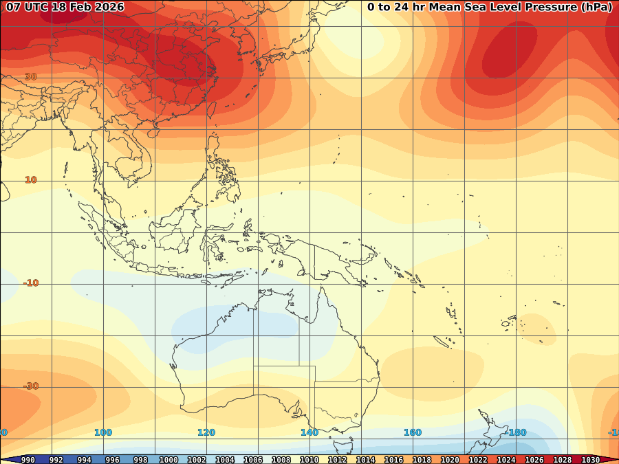 MSLP (hPa) MSLP (hPa) |

 Posts
Comments
Posts
Comments





No comments:
Post a Comment