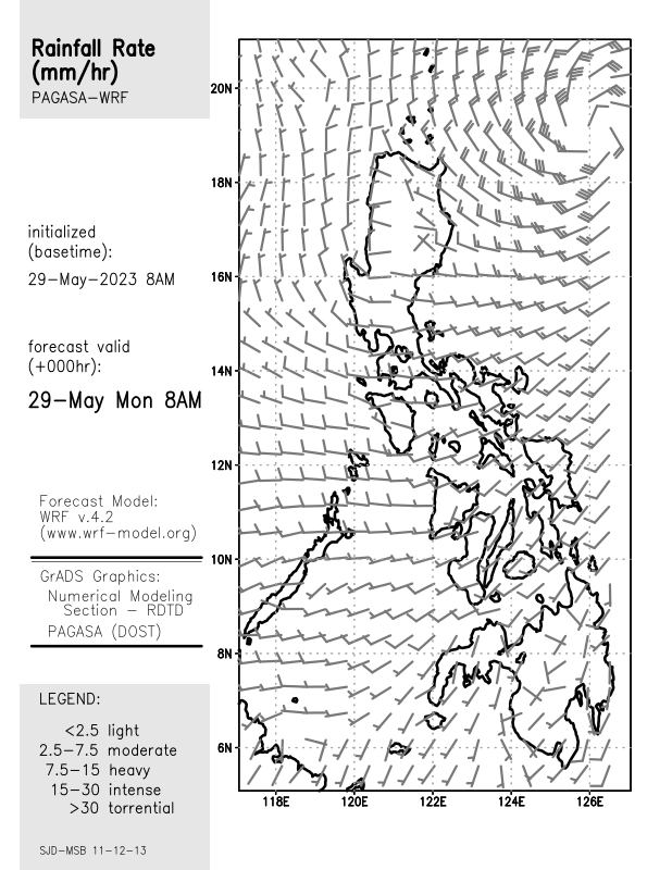
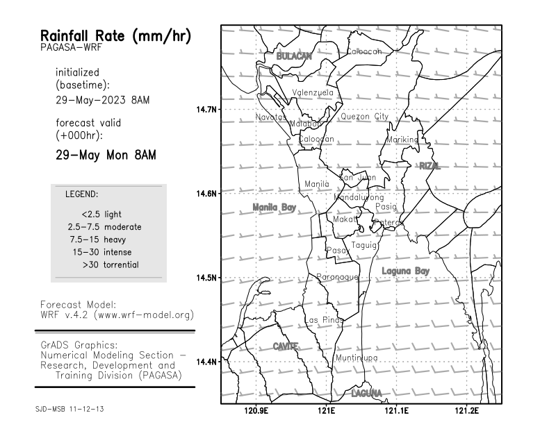
 CURRENT | 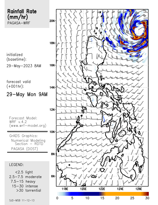 01HRS |
 02HRS | 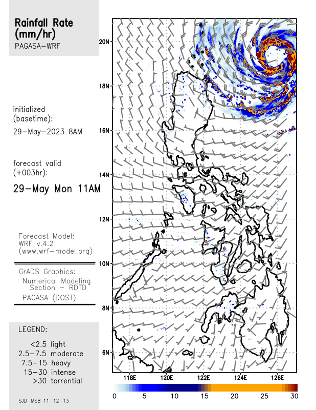 03HRS |
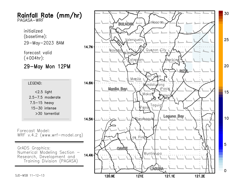
 04HRS |  05HRS |
 06HRS |  07HRS |
 08HRS | 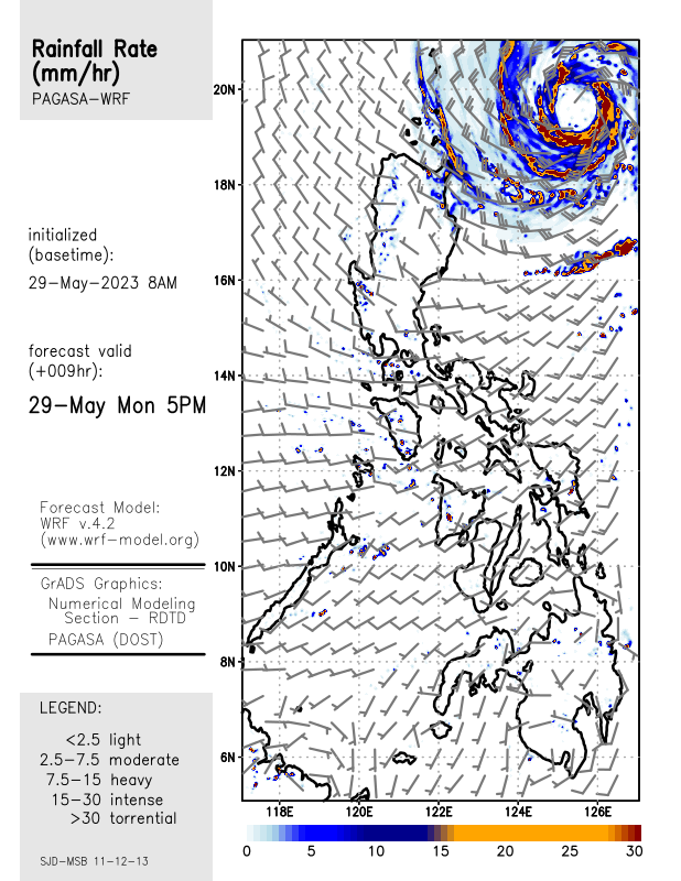 09HRS |
 10HRS | 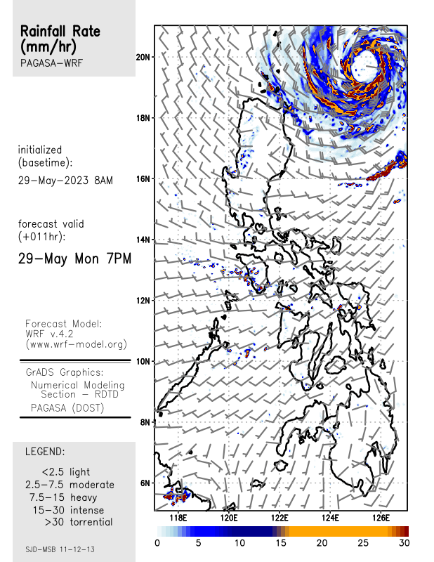 11HRS |
 12HRS |
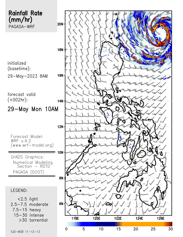
 CURRENT | 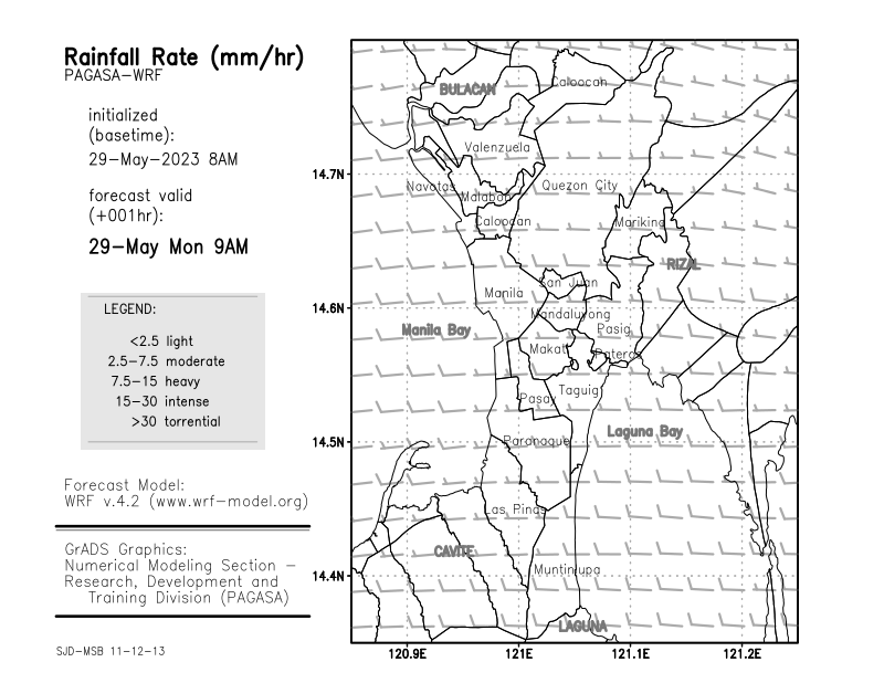 01HRS |
 02HRS | 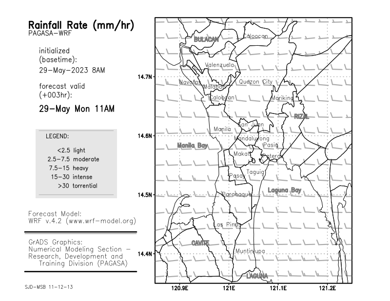 03HRS |
 04HRS | 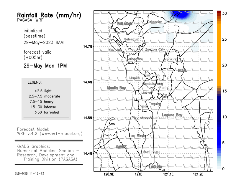 05HRS |
 06HRS | 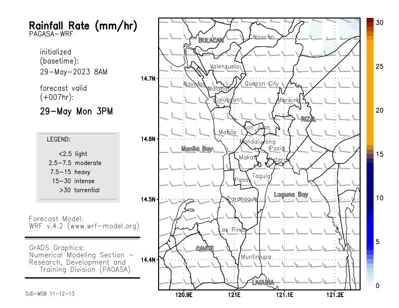 07HRS |
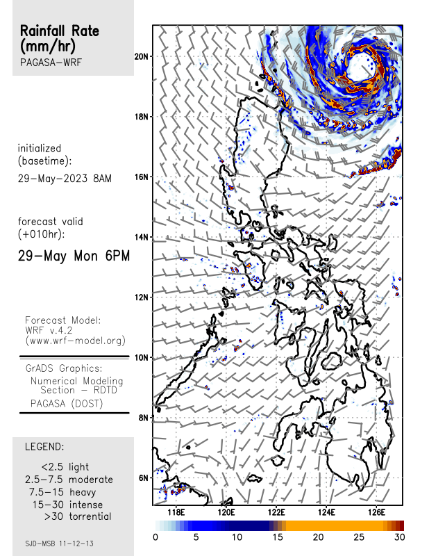
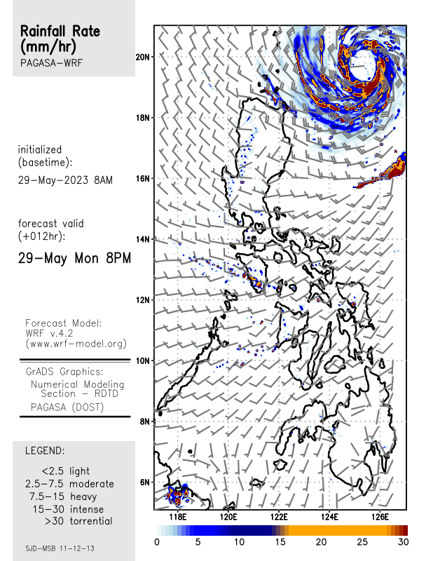
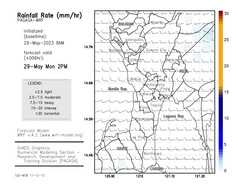
 08HRS | 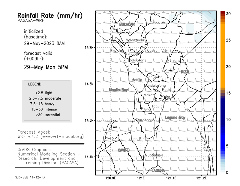 09HRS |
 10HRS |  11HRS |
 12HRS |
ALL INFORMATIONS AND/OR DATA PUBLISHED ON THIS BLOG ARE SUPPORTED BY ALL WEATHER AGENCIES (SEE BELOW OF THIS BLOG). THIS WAS DONE FOR RECORDS AND USAGE FOR REAL TIME OBSERVATIONS RELEVANT TO TROPICAL CYCLONE INFORMATIONS AND WEATHER UPDATES. KINDLY REFER TO YOUR RESPECTIVE WEATHER AGENCIES FOR UP TO DATE INFORMATIONS. PLEASE REFRESH THIS BLOG TO HAVE AN UP TO DATE SATELLITE IMAGERY.
CURRENT | 01HRS |
02HRS | 03HRS |
04HRS | 05HRS |
06HRS | 07HRS |
08HRS | 09HRS |
10HRS | 11HRS |
12HRS |
CURRENT | 01HRS |
02HRS | 03HRS |
04HRS | 05HRS |
06HRS | 07HRS |
08HRS | 09HRS |
10HRS | 11HRS |
12HRS |


 |
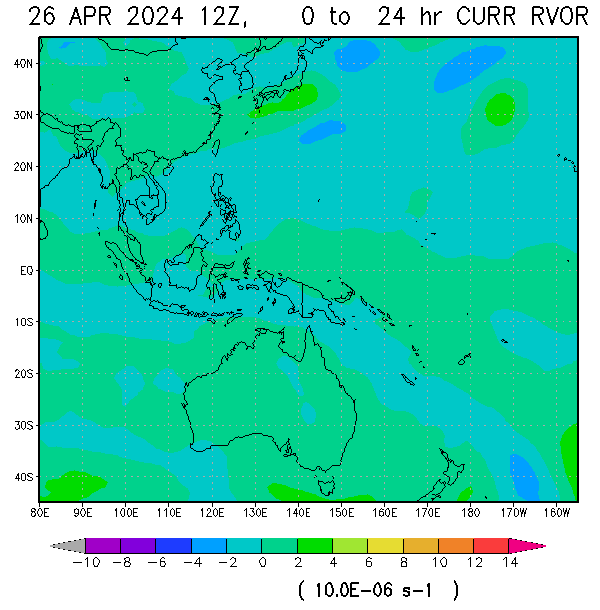
| RELATIVE VORTICITY |
 |
| NOGAPS 120 HRS FORECASTS |


JUST VOTE OR COMMENT FOR FEEDBACK
 VORTICITY VORTICITY |
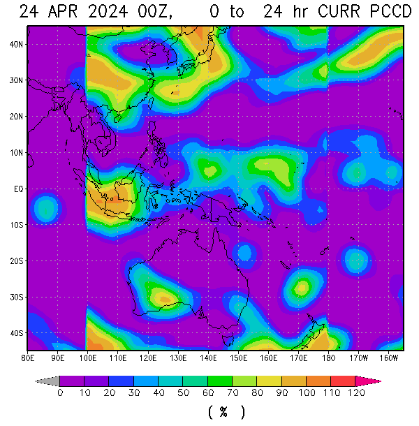 Percent Pixels Colder than -40°C Percent Pixels Colder than -40°C |
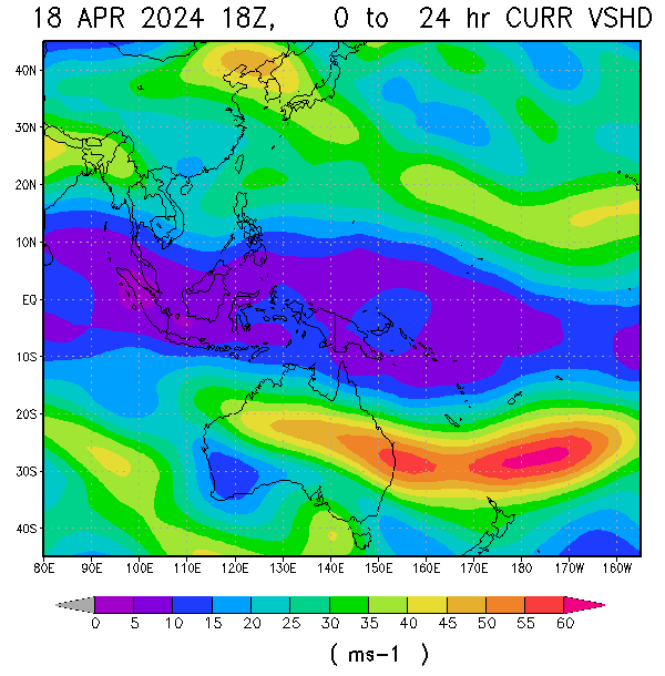 850-200 hPa Vertical Shear (kt) 850-200 hPa Vertical Shear (kt) |
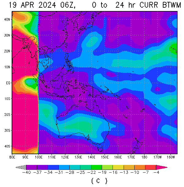 Cloud-cleared Water Vapor Brightness Temperature (°C) Cloud-cleared Water Vapor Brightness Temperature (°C) |  MSLP (hPa) MSLP (hPa) |


