WELCOME TO TYPHOON AND WEATHER IMAGERY. THIS BLOG CONTAINS REAL TIME WEATHER, TROPICAL CYCLONE UPDATES AND IMAGERY, AND TROPICAL CYCLONE FORECAST. CONTENTS OF DROP DOWN MENU CAN BE FOUND AFTER PHILIPPINE IMAGERY BELOW (SCROLL DOWNWARD). THANK YOU VERY MUCH FOR VISITING THIS SITE. YOU ARE FREE TO MAKE ANY COMMENT(S) OR FEEDBACK(S) ABOUT THIS BLOG.  SYNOPSIS: Southwest Monsoon affecting Luzon and the western section of Visayas. Tropical Depression #NenengPH (94W Invest) spotted approximately 940km east of Basco, Batanes. Active low pressure area (95W Invest) spotted approximately 460km west of Laoag city, Ilocos norte.

LANGUAGE TRANSLATION

RealEarth

PHILIPPINES RADAR COURTESY OF RAINVIEWER THRU PAGASA DOPPLER RADAR


NCR DOPPLER RADAR

PHILIPPINES DOPPLER RADAR

may 5 forecast


Frontal system still over Luzon
Intensifying monsoon trough (ITCZ) over mindanao
increasing moisture over Mindanao and another approacing
Overall, thunderstorm activity will be more frequent over Mindanao and eastern Visayas.


JUST VOTE OR COMMENT FOR FEEDBACK

No comments:

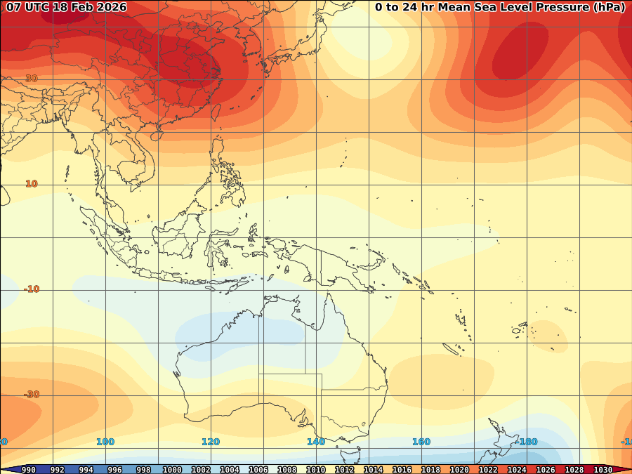
VORTICITY Percent Pixels Colder than -40°C 850-200 hPa Vertical Shear (kt) 850 hPa Horizontal Division (×10-6 s-1)MSLP (hPa)

MY TWEETER

News & Journalism - Top Blogs Philippines
Academics

GOOGLE SEARCH TOPIC

Top Stories - Google News

Blog Archive

REFRESH TO UPDATE