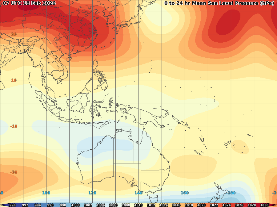

Dry air over most of Western Pacific
Overall, Most of the country expected to have hot and dry weather tomorrow (may 6)
 Enhanced rainfall expected over Indian ocean, Southeast asia including Philippines middle of next week as Enhance phase of MJO activity moving towards east. As seen on image above, This activity are now over Africa moving towards India within late this week or early next week and expected over to Southeast asia towards Western Pacific by middle of the week to later week.
 Chances of having a tropical cyclone formations both over Bay of Bengal to western Pacific are likely by late next week.


No comments:
Post a Comment