skip to main |
skip to sidebar


ALL INFORMATIONS AND/OR DATA PUBLISHED ON THIS BLOG ARE SUPPORTED BY ALL WEATHER AGENCIES (SEE BELOW OF THIS BLOG). THIS WAS DONE FOR RECORDS AND USAGE FOR REAL TIME OBSERVATIONS RELEVANT TO TROPICAL CYCLONE INFORMATIONS AND WEATHER UPDATES. KINDLY REFER TO YOUR RESPECTIVE WEATHER AGENCIES FOR UP TO DATE INFORMATIONS. PLEASE REFRESH THIS BLOG TO HAVE AN UP TO DATE SATELLITE IMAGERY.
ACTIVE LOW OR TROPICAL CYCLONES
| CLICK IMAGERIES TO REDIRECT ON COMPLETE IMAGERIES AND INFORMATIONS (Imageries will be seen after Philippines imagery below) | ||||
|
Ragasa/#NandoPH |
||||
LANGUAGE TRANSLATION
19W/#Pepito 10192020-0100PM Severe Weather Bulletin
⚠ BULLETIN
October 19, 2020 0100PM
TROPICAL DISTURBANCE
CODE/INTERNATIONAL NAME: 19W
LOCAL NAME: #PepitoPH
STAGE: WEAK DEPRESSION
COORDINATES: 14.22°N, 128.57°E
LOCATION: 468km East-Northeast of Virac, Catanduanes
DIFFERENT AGENCIES INTENSITY
US (1min aver.): 46km/hr; GUST: 65km/hr
JMA (10 min aver.): 56km/hr; GUST: 83km/hr
PAGASA (10min aver.): 45km/hr; GUST: 55km/hr
NMC: 54km/hr
CWB: 54km/hr; GUST: 83km/hr
MEAN WINDSPEED: 57.1km/hr
MSLP: 1004mb
Track: West-Northwest at 20km/hr
SURFACE WIND ANALYSIS: 40.7km/hr (1005.7mb)
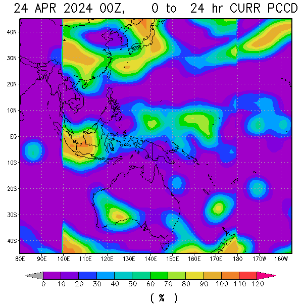
RAINRATE: ≥55mm/hr
AUTOMATED DVORAK: 48.2km/hr (1006.8mb)
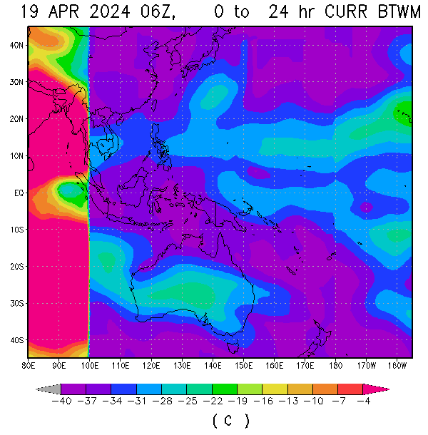
CLOUD TEMPERATURE: -45.82°C
EYE/CENTER TEMPERATURE: 1.70°C
SCENE TYPE: Curved band with 0.38 arc in md gray maximum curved band with 0.44 arc in md gray at 14:36:35N, 129:33:35E
SEA SURFACE TEMP.: ≥31°C
OCEAN HEAT CONTENT: Extreme, influx
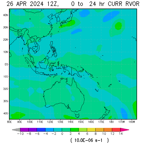
RELATIVE VORTICITY: moderate-high (steady)
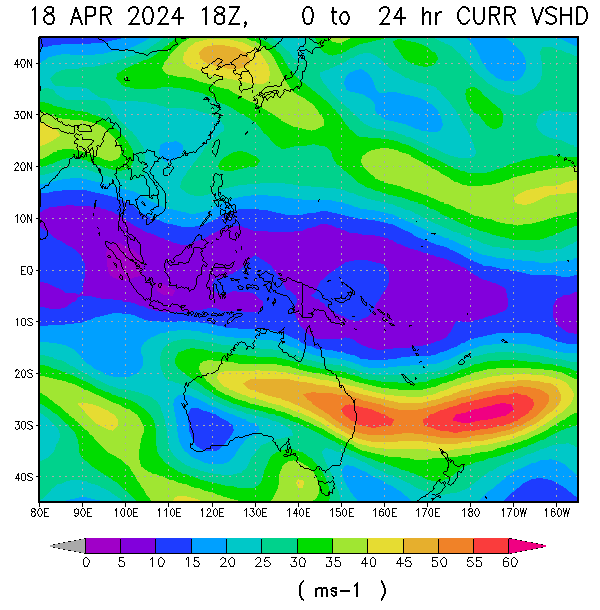
VERTICAL WINDSHEAR (average): 10kt/18.5km/hr (light, decreasing)
STEERING WIND: Subtropical ridge positioned to the Northeast
Tropical depression 19w (#PepitoPH) continues to organize as animated multispectral satellite imagery (msi) depicts spiral
bands of convection wrapping into an obscured low level circulation center (llcc). The system currently tracking along the southwestern periphery of a subtropical ridge positioned to the northeast. Favourable environment expected to continue supporting further intensification as low very warm SST, low vertical windshear and robust poleward with fair equatorward outflow aloft present. For the next 24hrs (October 20, 1200pm), TD 19W will continue to track generally west-northwestward along the periphery of the steering ridge position over NE and expected to intensify possibly into 85-95km/hr maximum windspeed while it approaches Northern and Central Luzon.
BASED ON 11AM PAGASA BULLETIN
The eastern portion of Isabela (Palanan,Dinapigue,the eastern portion of San Mariano) and the northern portion of Aurora (Dinalungan,Casiguran,Dilasag)
For realtime imagery visit the following link below:
Philippines Doppler radar: https://weathergaines.blogspot.com/2012/08/philippines-doppler-radar-noah.html
19W/#PepitoPH realtime imagery link: https://weathergaines.blogspot.com/2020/10/Tropical-Cyclone-19W.html
Kindly visit, subscribe and share this youtube channel to keep updated for latest weather bulletin, advisory and forecast. Just click the link below https://www.youtube.com/channel/UCfvT2t7-KClwjJZXrIV0AYg/
Subscribe to:
Post Comments (Atom)
About Me
- TYPHOON AND WEATHER IMAGERY
- City of Las Pinas, National Capital Region, Philippines
- This blogsite is all about different realtime satellite imageries, tropical cyclone information and other weather related topic
FOLLOW THIS SITE
YOU ARE VISITOR NUMBER:
LIVE FEED
Powered by Blogger.


No comments:
Post a Comment