WELCOME TO TYPHOON AND WEATHER IMAGERY. THIS BLOG CONTAINS REAL TIME WEATHER, TROPICAL CYCLONE UPDATES AND IMAGERY, AND TROPICAL CYCLONE FORECAST. CONTENTS OF DROP DOWN MENU CAN BE FOUND AFTER PHILIPPINE IMAGERY BELOW (SCROLL DOWNWARD). THANK YOU VERY MUCH FOR VISITING THIS SITE. YOU ARE FREE TO MAKE ANY COMMENT(S) OR FEEDBACK(S) ABOUT THIS BLOG. MAY 29, 2025 - 10PM SYNOPSIS: Southwesterly Windflow affecting the western section of Luzon and Visayas.

ACTIVE LOW OR TROPICAL CYCLONES

CLICK IMAGERIES TO REDIRECT ON COMPLETE IMAGERIES AND INFORMATIONS (Imageries will be seen after Philippines imagery below)

96W/#CrisingPH

LANGUAGE TRANSLATION

PHILIPPINES RADAR COURTESY OF RAINVIEWER THRU PAGASA DOPPLER RADAR


NCR DOPPLER RADAR

PHILIPPINES DOPPLER RADAR
RealEarth


Showing posts with label TCFA. Show all posts

WETTER DECEMBER POSSIBLE AS LA-NINA GETTING STRONGER; WETTER THAN NORMAL LIKELY UP TO NORTHERN HEMISPHERE SPRING

3 different condition of SST along western pacific (2007, 2009-2010). Warmer SST condition remains over east of Mindanao

850 mb shows above climatological condition an indication that vorticity continuously developing.

Depth 26C shows warmer and deeper themocline over western pacific (2007, 2009-2010)

Equatorial thermocline shows colder water remained declining over eastern Pacific, whereas, warmer are observe along most of Philippines mostly over Eastern Mindanao

Tropical cyclone formation probabilities remain active based on climatological condition

This figure shows high and deeper convective formation over Philippines resulted to warm SST and lower shear

For graphical understanding

Sea height anomalies remains deeper and warmer (2007, 2009-2010). Warming are much higher compared to last La-nina (2007)

Recent SST and condition of La-nina

Vertical instability remain almost below climatological rate however, chances are high for becoming above climatological rate

Shear almost normal but showing some below climatological rate

High moisture content are available as it remains below climatological rate (rising means drier condition)

lower SST anomalies remains over Eastern Equatorial pacific

  • Overall, based on above figures, conditions favors for above to high rainfall conditions expected over Eastern section of the country (mostly Mindanao and Visayas) while out of season rainfall expected over the rest including Metro manila.
  • Deep and strong convective formations are likely as abundant moisture over all level of atmosphere persist due to warmer SST and deeper high thermocline east of Philippines observe.
  • Wetter December are likely including some out of season tropical disturbances including tropical cyclones.
  • La-nina remains strong and even getting stronger as evidence of stronger easterly wind almost most of Pacific.


SOURCE:


JUST VOTE OR COMMENT FOR FEEDBACK

TCFA NOW AT 99W INVEST AS 91W LIKELY TO FOLLOW; HURRICANE FRANK; HURRICANE DANIELLE; STORM EARL; 97L; 90W; 98W

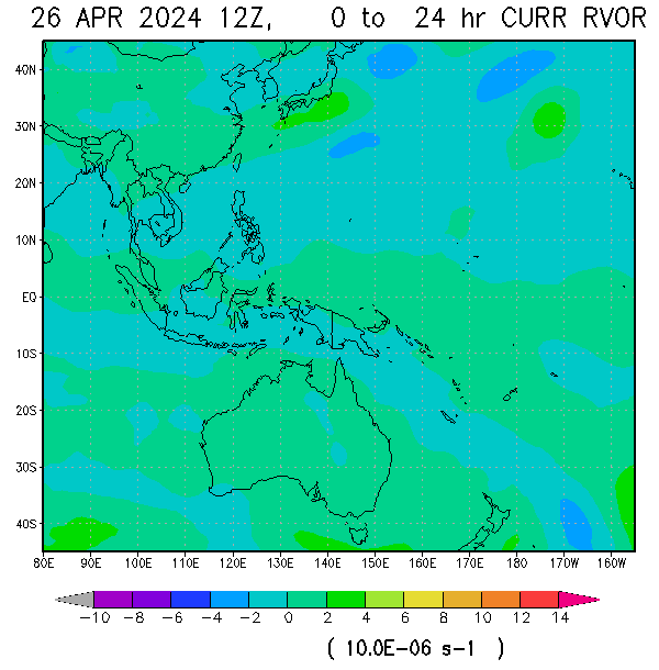
VORTICITY IMAGERY OF 4 WEATHER DISTURBANCES


CATEGORYVALUE
STAGE0 OF 15
DESCRIPTIONWARNING
MAXIMUM WIND (kt)15GUSTINESS20
(kph)28GUSTINESS37
CURRENT SEA LEVEL PRESSURE (mb)1010
SURFACE WIND ANALYSIS (kt)22MSLP (mb)1006.0
ADVANCE DVORAK TECHNIQUES (ADT) (kt)0MSLP (mb)0
CENTRAL REGION TEMP:-0°CDESCRIPTIONN/A
CENTRAL CLOUD TEMP:-0°CRAINRATE (IN mm/hr)+25
FORECAST (NEXT 12HRS)15ktSTAGE:0
POSITION: 18.1N, 122.4E/COAST OF NORTHERN CAGAYAN

LATEST ADVISORY FOR TROPICAL DISTURBANCE 91W INVEST AUGUST 27 2010 1026A (0226UTC)
CATEGORYVALUE
STAGE0 OF 15
DESCRIPTIONWARNING
MAXIMUM WIND (kt)15GUSTINESS20
(kph)28GUSTINESS37
CURRENT SEA LEVEL PRESSURE (mb)1010
SURFACE WIND ANALYSIS (kt)N/AMSLP (mb)N/A
ADVANCE DVORAK TECHNIQUES (ADT) (kt)0MSLP (mb)0
CENTRAL REGION TEMP:-0°CDESCRIPTIONNONE
CENTRAL CLOUD TEMP:-0°CRAINRATE (IN mm/hr)+35
FORECAST (NEXT 12HRS)20 ktSTAGE:1
POSITION: 15.4N, 117.2E/311KM W OF IBA, ZAMBALES

LATEST ADVISORY FOR TROPICAL DISTURBANCE 98W INVEST AUGUST 27 2010 1030A (0230UTC)
CATEGORYVALUE
STAGE0 OF 15
DESCRIPTIONWARNING
MAXIMUM WIND (kt)15GUSTINESS20
(kph)28GUSTINESS37
CURRENT SEA LEVEL PRESSURE (mb)1010
SURFACE WIND ANALYSIS (kt)15MSLP (mb)1010.3
ADVANCE DVORAK TECHNIQUES (ADT) (kt)0MSLP (mb)0
CENTRAL REGION TEMP:-0°CDESCRIPTIONN/A
CENTRAL CLOUD TEMP:-0°CRAINRATE (IN mm/hr)+25
FORECAST (NEXT 12HRS)15ktSTAGE:0
POSITION: 9.0N, 142.0E/775KM E OF PAR

LATEST ADVISORY FOR TROPICAL CYCLONE FORMATION ALERT 99W/PRE-07W (JMA AND THAILAND: MINIMAL DEPRESSION) AUGUST 27 2010 1047A (0247UTC)
CATEGORYVALUE
STAGE1 OF 15
DESCRIPTIONTCFA
MAXIMUM WIND (kt)20GUSTINESS25
(kph)37GUSTINESS46
CURRENT SEA LEVEL PRESSURE (mb)1006
SURFACE WIND ANALYSIS (kt)21MSLP (mb)1006.7
ADVANCE DVORAK TECHNIQUES (ADT) (kt)34MSLP (mb)997.6
CENTRAL REGION TEMP:19.31°CDESCRIPTIONN/A
CENTRAL CLOUD TEMP:-06.53°CRAINRATE (IN mm/hr)+35
FORECAST (NEXT 12HRS)25 ktSTAGE:2
POSITION: 26.29N, 127.42E/OPEN PACIFIC

OTHER ACTIVE SYSTEM:


EATERN PACIFIC


JUST VOTE OR COMMENT FOR FEEDBACK
VORTICITY Percent Pixels Colder than -40°C 850-200 hPa Vertical Shear (kt) Cloud-cleared Water Vapor Brightness Temperature (°C)MSLP (hPa)

HIMAWARI WESTERN PACIFIC IR TEMPERATURE IMAGERY

MY TWEETER

News & Journalism - Top Blogs Philippines
Academics

GOOGLE SEARCH TOPIC

Top Stories - Google News

Blog Archive

REFRESH TO UPDATE