IMAGES OF THE DAY
(AS OF 3p[5:30UTC] JUNE 4, 2009)
CLICK IMAGES TO SEE CLOSE UP VIEW
(AS OF 3p[5:30UTC] JUNE 4, 2009)
CLICK IMAGES TO SEE CLOSE UP VIEW
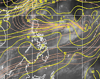
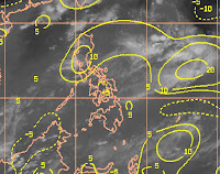
 SHEAR
SHEAR VORTICES
 WIND ANALYSIS
 UPPER DIVERGENCE
 CONVECTION/CLOUDTOP
NO TROPICAL CYCLONE NOR TROPICAL DISTURBANCE PRESENT AS OF THE MOMENT
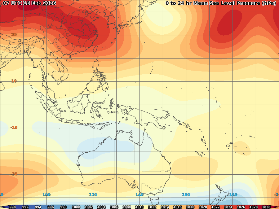
STRONG SOUTHWEST MONSOON OVER LUZON AND WESTERN VISAYAS, HIGH PRESSURE AREA OVER MINDANAO
Strong windshear over South China sea which moving ENE expected to limit rainfall within the next 24-36hrs over western Luzon as its shows some increase in strength based on latest imagery above. Strong SW monsoon wind expected to continue bringing cloudiness with some scattered to occassional rain mostly over Western part of Luzon with some decrease in amount as the said shear increases.
Meanwhile, a short-lived tornado touches town over Quezon City in Metro manila in the afternoon that resulted some minor damages including 10 houses which roofs were blown away and old trees pining down together with some electrical post.


No comments:
Post a Comment