IMAGES OF THE DAY
(AS OF 9A[00:30UTC] JULY 03, 2009)
CLICK IMAGES TO SEE CLOSE UP VIEW
(AS OF 9A[00:30UTC] JULY 03, 2009)
CLICK IMAGES TO SEE CLOSE UP VIEW

 WIND ANALYSIS
encircle part shows some developing circulation over the area
 VORTICES
negative to low for most of the country indicating less formation of convection due to lack of vertical development of wind
 UPPER DIVERGENCE
almost negative at 5kt indicating pressure are rising for most part
 SHEAR
SHEAR20-30kt shear observe for most part
 RAINRATE
patches of below 10mm/hr rainrate
 RAIN ANALYSIS
rain concentrated over Northern Luzon as deep frontal system from China moves eastward.
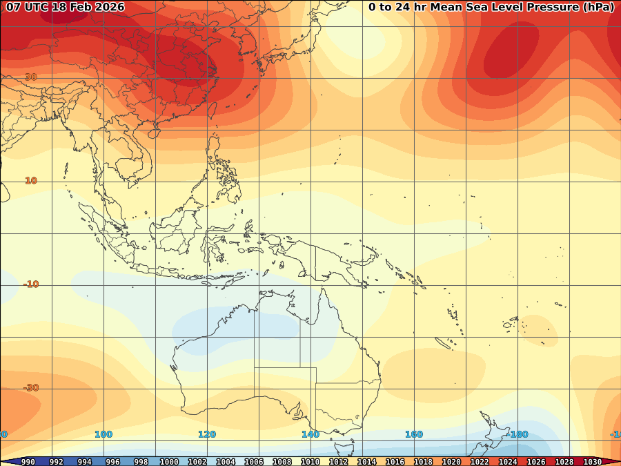
 PRESSURE
1014mb high at open pacific with 1008mb low over caroline is.
 CONVECTION
not much deep convection observed over the country
DEVELOPING TROPICAL DISTURBANCE
LOCATION: 7-8N, 141-143E;
WINDSPEED: 10-15KT/19-28KPH;
SLP: N/A MB;
MOVEMENT: WEST-NORTHWEST SLOWLY;
VORTICES: LOW;
EYE TEMP: 0.0C;
SHEAR: 15KT;
UPPER DIVERGENCE: WEAK AT 5KT;
CONVECTION: NOT VISIBLE;
FORECAST FOR THE NEXT 12HRS: WARNING (10-15KT)
As deep frontal system from China moves more eastward, it may weakens the high pressure ridge allowing to induce some southwesterly windflow over south china sea that may bring scattered light-heavy rains and/or thunderstorm over Luzon mostly Northern and Western part after 24-36hrs. No tropical cyclone expected over the next3 days however, developing circulation over Caroline is will be monitored if possible formation likely during this period if it maintain and intensify.
COVERED (JULY 1-2 18:00UTC) 1 DAY
38.00 mm NAGA/LUZON ISLAND 13.58 123.27
38.00 mm PILI 13.57 123.27
39.00 mm MAMBURAO/MINDORO IL 13.22 120.60
40.00 mm VIGAN/LUZON ISLAND 17.57 120.38
41.00 mm LAOAG INTL(PH-ARMY) 18.18 120.53
59.00 mm APARRI RADAR 18.37 121.62
67.00 mm TUGUEGARAO/LUZON IL 17.62 121.73
77.00 mm APARRI/LUZON ISLAND 18.37 121.63
COVERED (JUNE 30-JULY 2 18:00UTC) 3 DAYS
100.00 mm IBA/LUZON ISLAND 15.33 119.97
107.00 mm MAMBURAO/MINDORO IL 13.22 120.60
COVERED (JUNE 26-JULY 2 18:00UTC) 7 DAYS
NO 200MM ABOVE RAINFALL


No comments:
Post a Comment