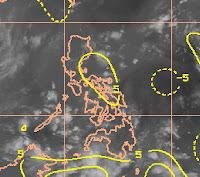
IMAGES OF THE DAY
(AS OF 2P[04:30UTC] JULY 06, 2009)
CLICK IMAGES TO SEE CLOSE UP VIEW
(AS OF 2P[04:30UTC] JULY 06, 2009)
CLICK IMAGES TO SEE CLOSE UP VIEW
 WIND
WINDencircled broad circulation approaches philippines from East
 VORTICES
light vortices over Eastern Visayas and Mindanao
 UPPER DIVERGENCE
5kt over Bicol region
 SHEAR
SHEARlow shear at 5-10kt over most of the country
 RAIN ANALYSIS
Most rain over Mindanao and Visayas including southern Luzon
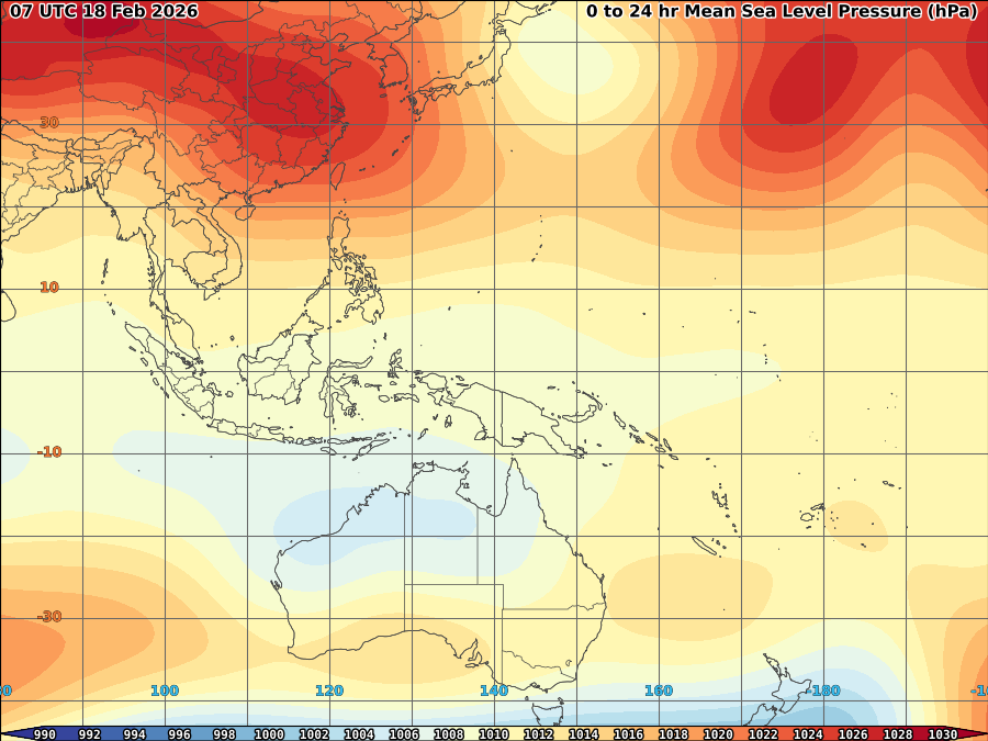
 PRESSURE
1008mb over near the said broad circulation
DEVELOPING DISTURBANCE AT 12-13N, 133-134E BASED ON 10M WIND ANALYSIS
Some small scale rainfall expected for most of the country as weak monsoon trough and southwesterly windflow expected to prevail. Broad area of circulation which expected to approach the country mostly between east of Luzon and Bicol region within 36-48hrs are in tight watch if it will continue to developed as significant tropical cyclone this week.
COVERED (JULY 4-5 18:00UTC) 1 DAY
44.00 mm OLONGAPO 14.80 120.27
59.00 mm DAGUPAN/LUZON ISL 16.05 120.33
74.00 mm NAULA POINT/LUZON 15.70 119.97
87.00 mm IBA/LUZON ISLAND 15.33 119.97
COVERED (JULY 3-5 18:00UTC) 3 DAYS
103.00 mm IBA/LUZON ISLAND 15.33 119.97
103.00 mm NAULA POINT/LUZON 15.70 119.97
COVERED (JUNE 29-JULY 5 18:00UTC) 7 DAYS
224.61 mm IBA/LUZON ISLAND 15.33 119.97


No comments:
Post a Comment